Microsoft tech helps build world’s largest fish-species data set
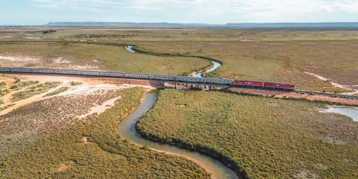
Citizen scientists, AI and cloud monitor Kakadu billabongs, support Ranger uranium mine rehabilitation
![]() Microsoft News Center
Microsoft News Center
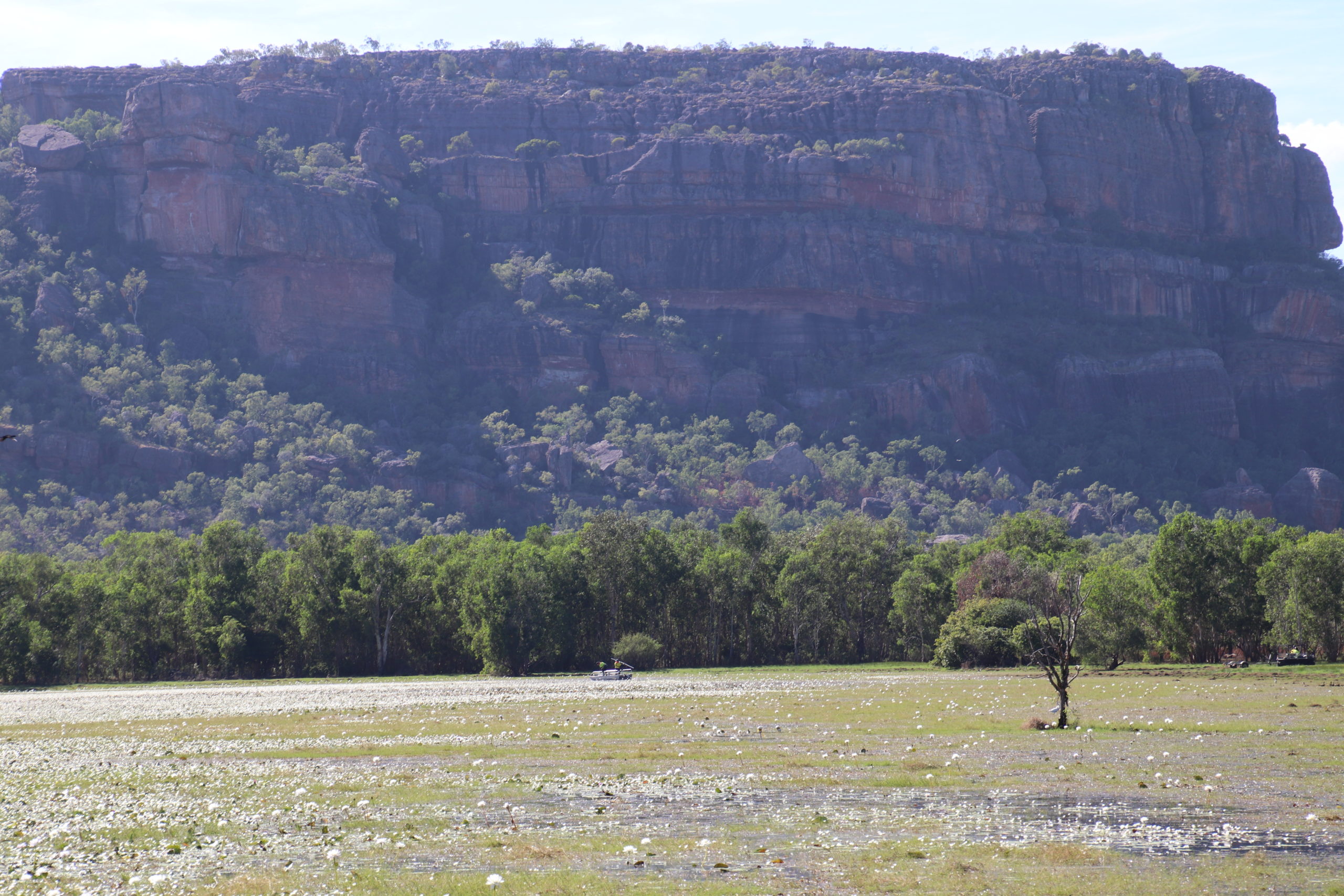
Microsoft is pleased to announce that its cloud and artificial intelligence (AI) technologies are playing a key role in a Government-led initiative to work with citizen scientists to protect the dual World Heritage listed Kakadu National Park from the effects of uranium mining.
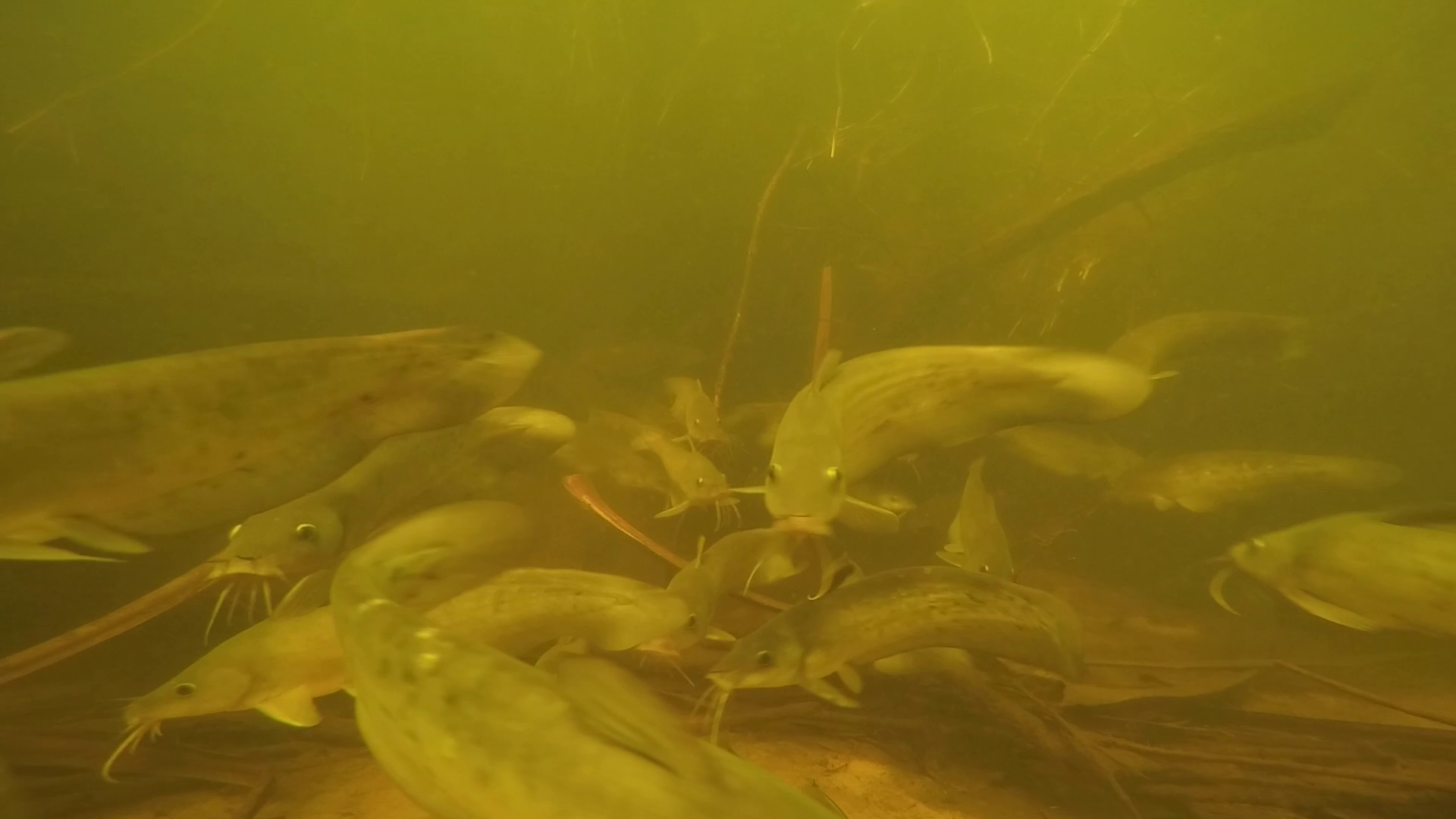
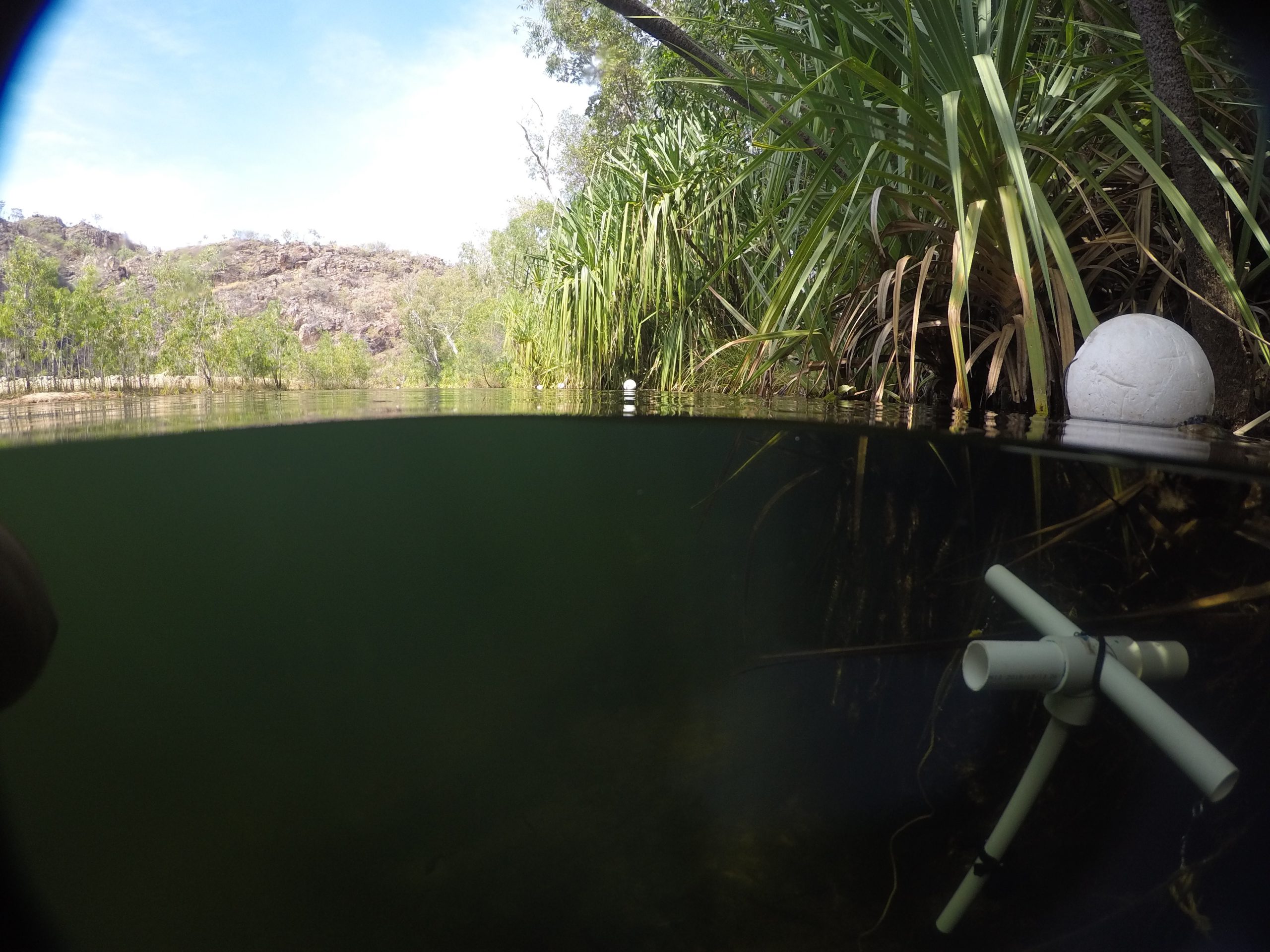
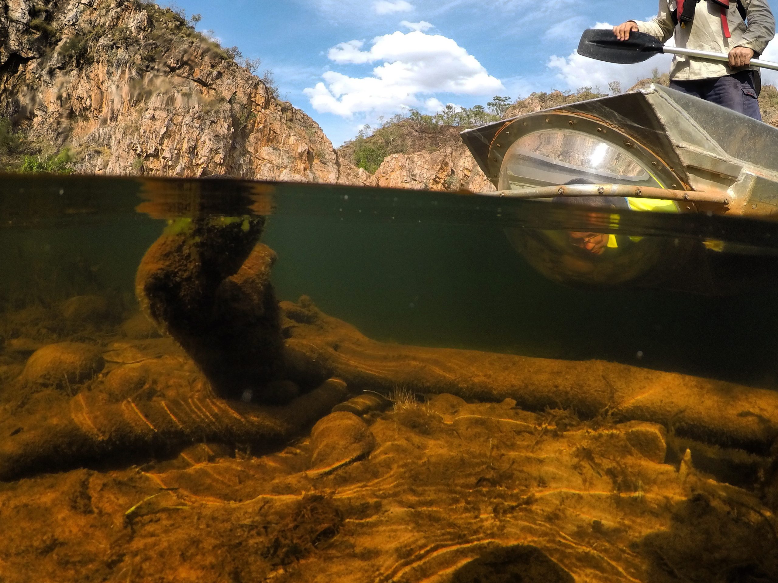
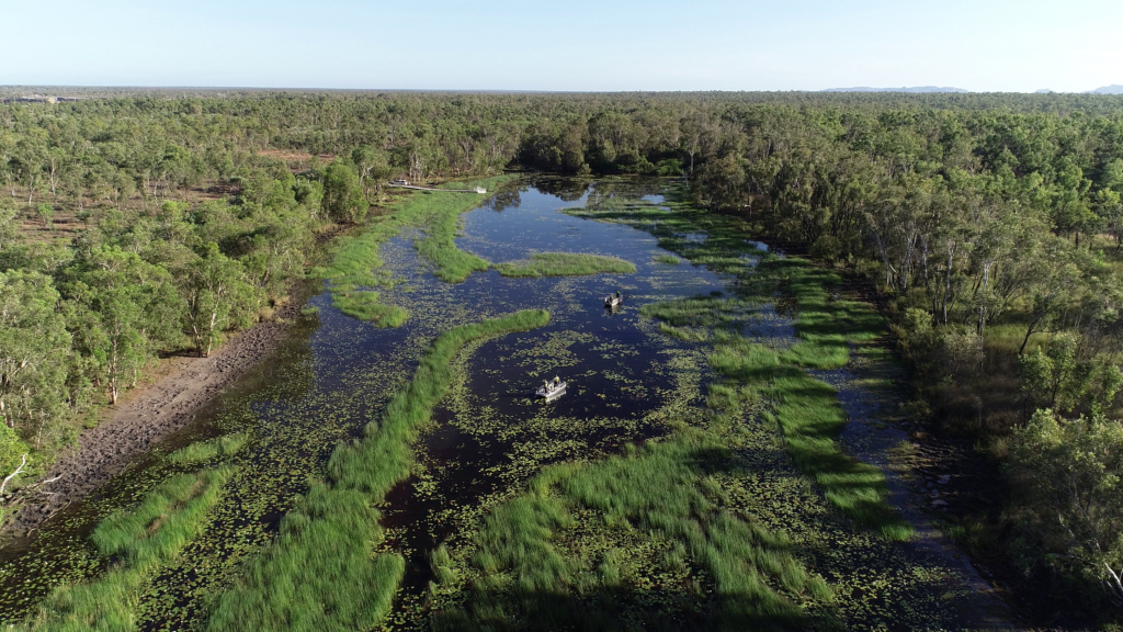
Billabong health – which can be measured using fish populations as a proxy – is a key environmental indicator. Sending scientists into crocodile infested waters to net or observe fish directly isn’t safe – so video is being captured by underwater cameras and drones and then analysed using AI.
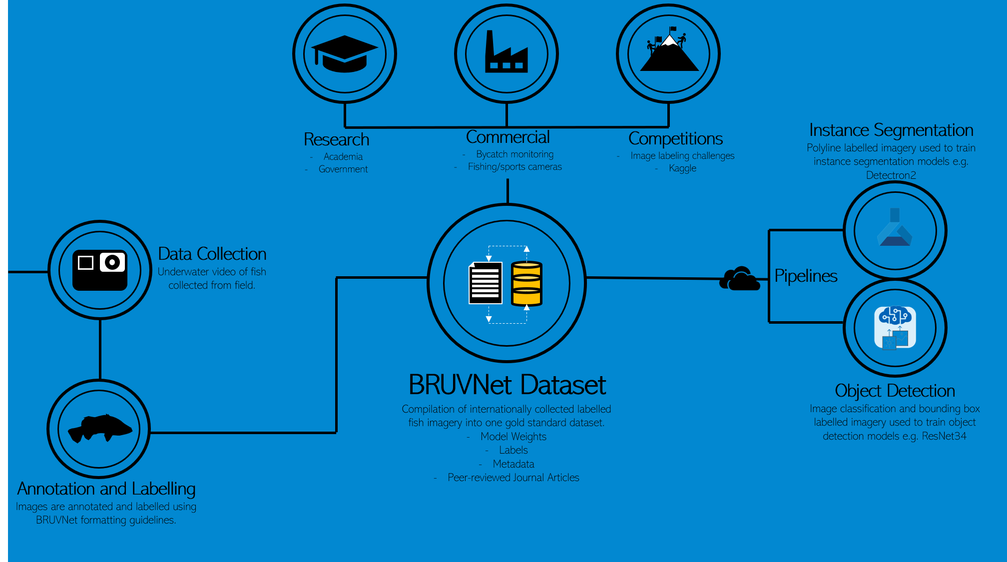
In order to train the AI models, the Australian Government’s Supervising Scientist Branch (SSB) is leading a program that combines citizen scientists, AI and cloud computing to create the world’s largest training dataset of fish species and have worked closely with Microsoft FastTrack for Azure team.
Keith Tayler, Supervising Scientist said; “Ultimately, the Department wants to develop innovative, easily deployable monitoring tools that can be used by Indigenous Ranger groups to undertake the long-term monitoring of the rehabilitated Ranger uranium mine site.”
The SSB is now operationalising this monitoring method in Kakadu’s billabongs, and is already achieving high model accuracy using AI to identify fish to species level from video. The current project builds on work undertaken by the NT Department of Primary Industry and Resources (DPIR) and Microsoft in 2018 to track fish populations in Darwin Harbour.
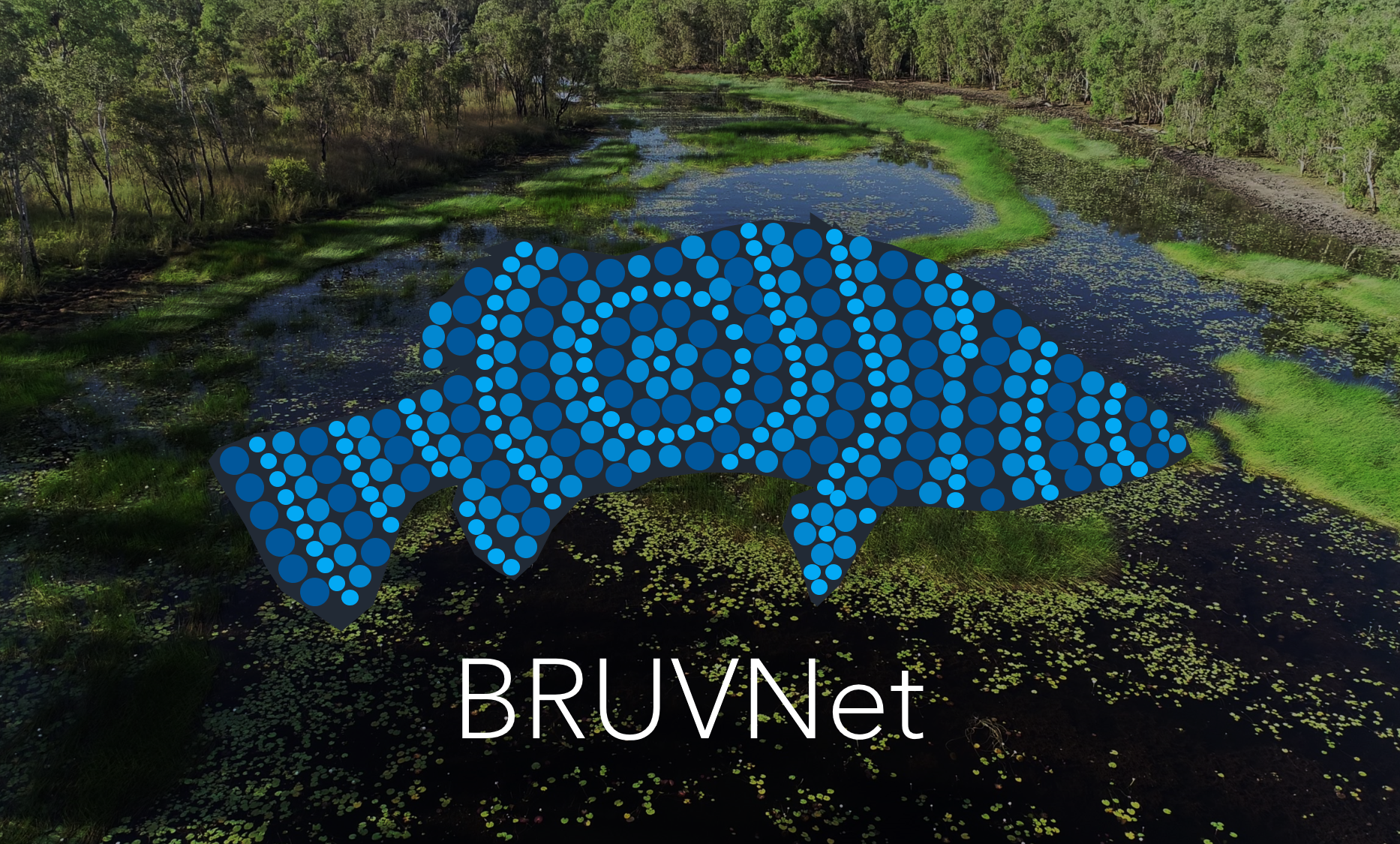
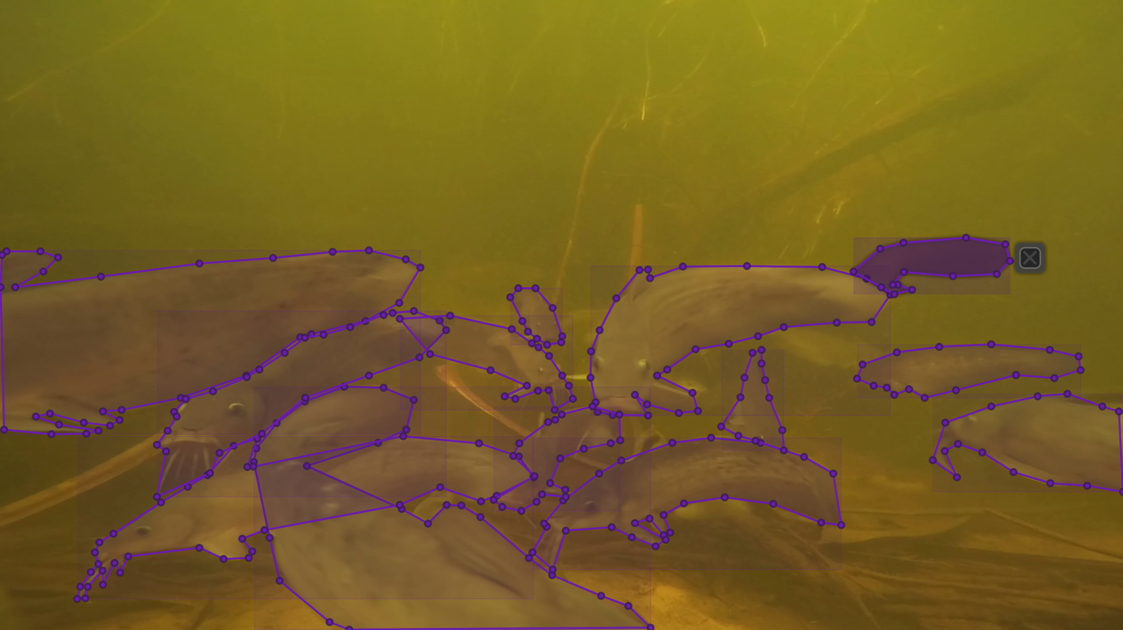
BRUVNet (baited remote underwater video net),is an open sourced set of fish images that can be used to train machine learning platforms to automatically identify fish species from video. The SSB is leading its development, and with Microsoft, has created the platform for citizen scientists to help build the largest labelled dataset of fish images in the world.
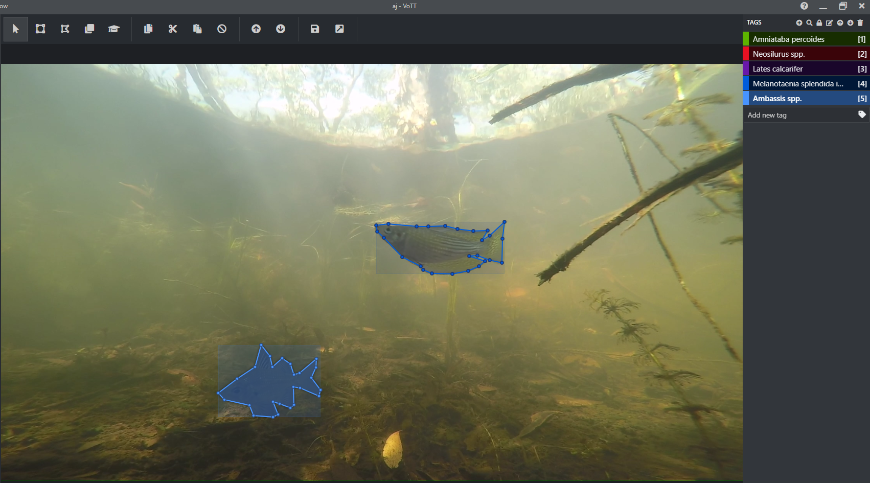
Andrew Jansen, Bio-monitoring Manager, Water and Sediment Quality, SSB said; “We have used all open-source free tools to enable anyone to replicate our process and make it as simple as possible. As we are only asking people to trace lines around fish – applying species tags is an optional bonus – the process is actually quite simple and allows anyone to open VoTT (Visual Object Tagging Tool) in a web browser, enter some unique codes to connect to images stored in Azure Cloud Containers and using our one-page instruction guide start tracing lines around the fish in their images.”
“All data and labels are automatically saved in the cloud which means no data is lost and there is no requirement to save or backup work that is completed. We provide a photo guide for those who want to try their hand at tagging fish with species name, however the Supervising Scientists’ fish ecologists will be checking the quality of the annotations and species tags. Whilst this represents a significant workload, it will ensure the BRUVNet dataset is a true gold standard that can be used by all fisheries scientists.”
CustomVision.ai supports the image labelling to train AI models; Azure Batch scales computing across more than 20 virtual machines to speed data processing; Azure Machine Learning service trains the BRUVNet data set on fish species; and PowerBI visualises that data set for the scientists running the project.
Lee Hickin, Chief Technology Officer, Microsoft Australia said; “This is a great example of how AI when combined with science and cloud scale, we can have a positive impact on the environment. Building on the great work that was started in Darwin with NT Fisheries, The goal here is to generate the largest international dataset of quality-controlled polyline labelled freshwater fish imagery in the world.
“This kind of AI and Machine learning will save hundreds of hours of manual work – instead of scientists having to spend days out in the field where there is the constant risk of crocodile attack, or hour after hour in front of a screen identifying fish species from videos – they will now have that information at their fingertips – freeing them up for more value adding work to assess and improve ecosystem health.”
The SSB also runs a drone program which is used to monitor and characterise the terrestrial landscape surrounding the Ranger uranium mine and is now working to leverage some of the skills and learnings from BRUVNet to automate processing of its LiDAR, multi-spectral and hyperspectral imagery to classify tree, understory and aquatic vegetation species.
About Microsoft
Microsoft (Nasdaq “MSFT” @microsoft) enables digital transformation for the era of an intelligent cloud and an intelligent edge. Its mission is to empower every person and every organisation on the planet to achieve more.
For media enquiries, please contact:
Rudolf Wagenaar, Commercial Communications Lead, Microsoft Australia
Email: [email protected]
Mobile: 043 908 2550