
Office of Planetary Observations heads to space for a greener Planet Earth
![]() Microsoft News Center
Microsoft News Center
With a background in Landscape Architecture, Thomas Gooch knows the value more vegetation and trees have for our urban environments – but he was constantly challenged to prove that with data.
While engineers could back their proposals for new roads with traffic analytics, there was nothing equivalent for plants. “There were instances when we couldn’t argue for nature because we couldn’t quantify it,” he says.

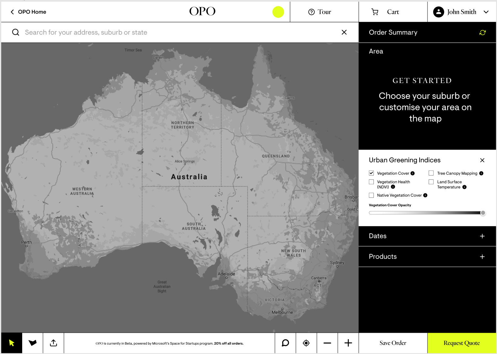
Fast forward to today and Office of Planetary Observations (OPO), founded by Gooch, is using satellite sourced data that maps the earth every five days to provide the accessible and affordable insights that landscape architects and town planners need to promote urban greening and to build climate resilient cities for the future.
Based in Melbourne, OPO sources data from the European Space Agency’s Copernicus program satellites along with Maxar imagery. Ingests this into its Microsoft Azure based AI infused platform where unique algorithms interpret the data and serve insights to users in a digestible form. This includes details about vegetation cover and health, land surface temperature and maps of the tree canopy in a specific area.
OPO, which has joined the Microsoft for Space Startups program, is also leveraging additional data from Microsoft’s Planetary Computer which offers a rich source of environmental and geographical information.
The combined insights can be used by government to formulate policy and strategic planning; provide spatial information and research to designers; and to inform decisions and outcomes in the construction industry.
Gooch, who is also OPO’s CEO says:
We are utilising space to provide the metrics to encourage urban greening so that we can move toward a society more integrated with nature and usher in strategies to help us address climate change.
Satellite sourced data, which is refreshed every five days via the Copernicus program satellites, can be used to develop digital twins of urban environments that can then inform planning, decision making and provide important seasonal insights.
Early OPO users include Strathbogie Shire in Victoria, which has used the insights to inform its reporting on urban green infrastructure, and the City of Greater Bendigo which has developed its Greening Greater Bendigo Strategy leveraging OPO systems.
OPO is currently refining a new web tool now in beta release that will allow people to ask the question ‘how green is my suburb’ by clicking on their council areas or postcode on OPO’s website.
Gooch says that the overarching ambition of OPO is; “To work with nature rather than take from it,” and create a greener, more liveable and sustainable world.