

Farmers around the world are facing the urgent question of how to sustainably feed a global population expected to reach 9.7 billion by 2050 — and the answer, in part, might be found nestled among the cornstalks and soybeans on a farm a short distance from Washington, D.C.
The fields are outfitted with a network of high-tech sensors that could revolutionize how food is grown across the globe by putting data in the hands of farmers and scientists in ways unimaginable a few years ago.
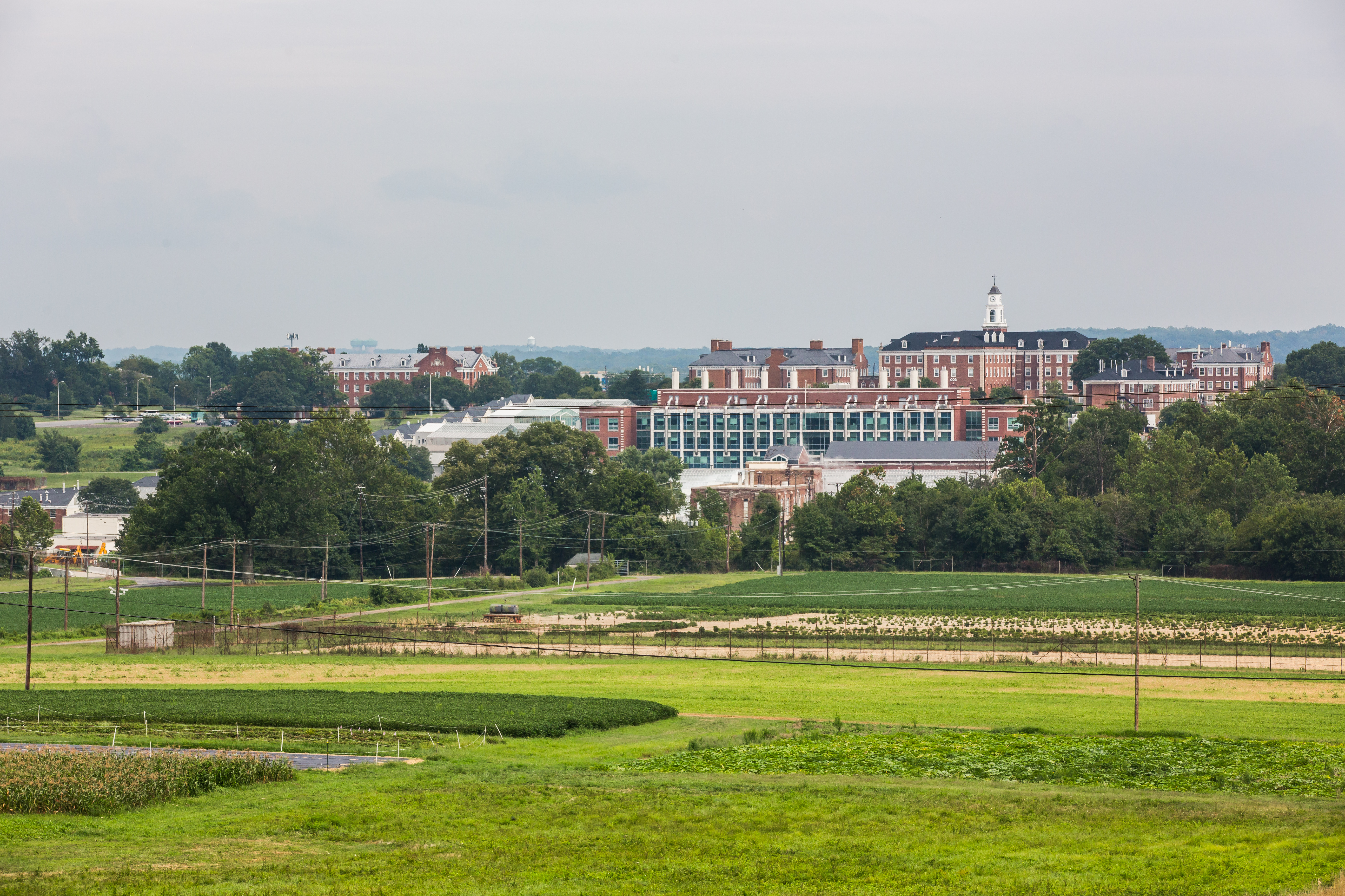
The sensors are part of a groundbreaking new partnership between Microsoft and the U.S. Department of Agriculture (USDA). The 7,000-acre farm at the USDA’s Beltsville Agricultural Research Center in Maryland is using FarmBeats, a project that aims to harness data and artificial intelligence to help farmers cut costs, increase yields and sustainably grow crops that are more resilient to climate change.
“We can’t simply double our acreage to produce this food,” says Dan Roberts, research leader at the Sustainable Agricultural Systems Research Laboratory, located at the Beltsville center. “There’s a lot of competition for arable land with urbanization. What we need to do is develop more environmentally benign crop production systems — the new green revolution, if you will.”
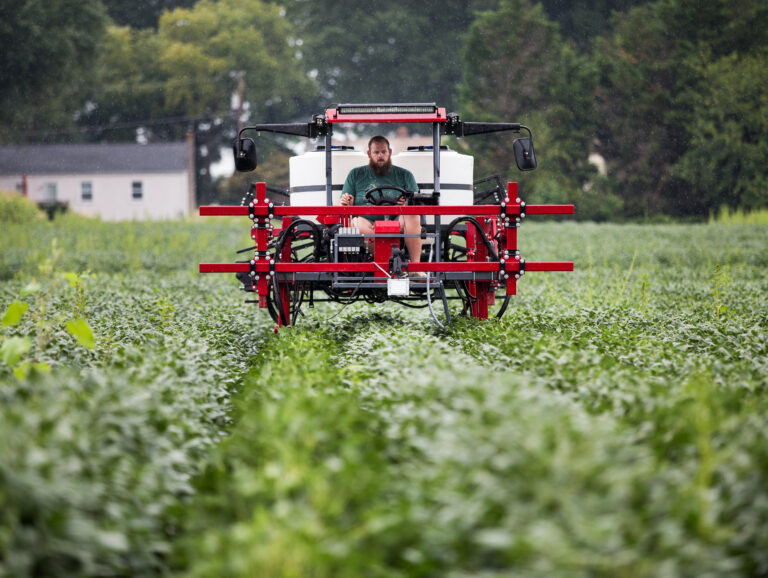
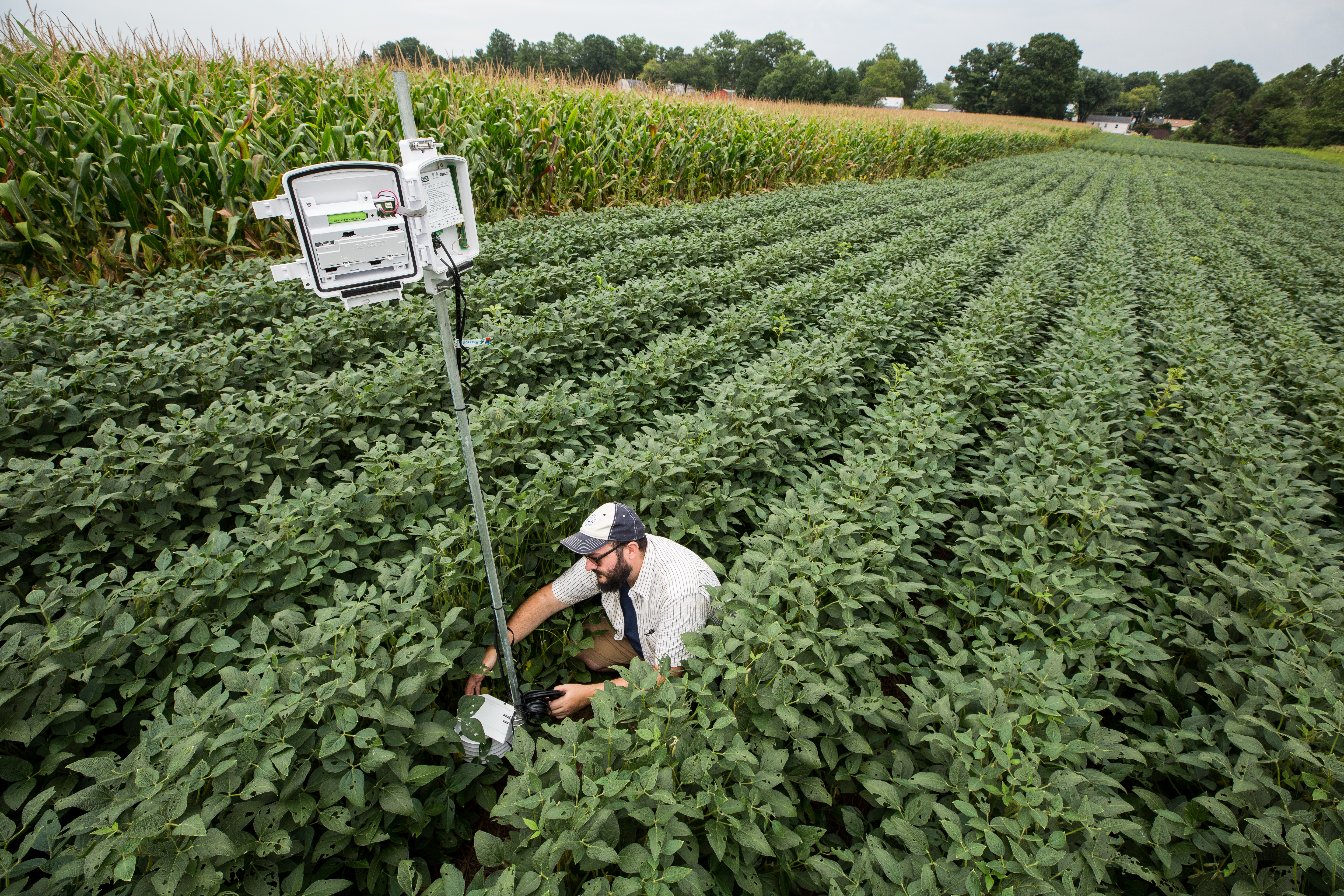
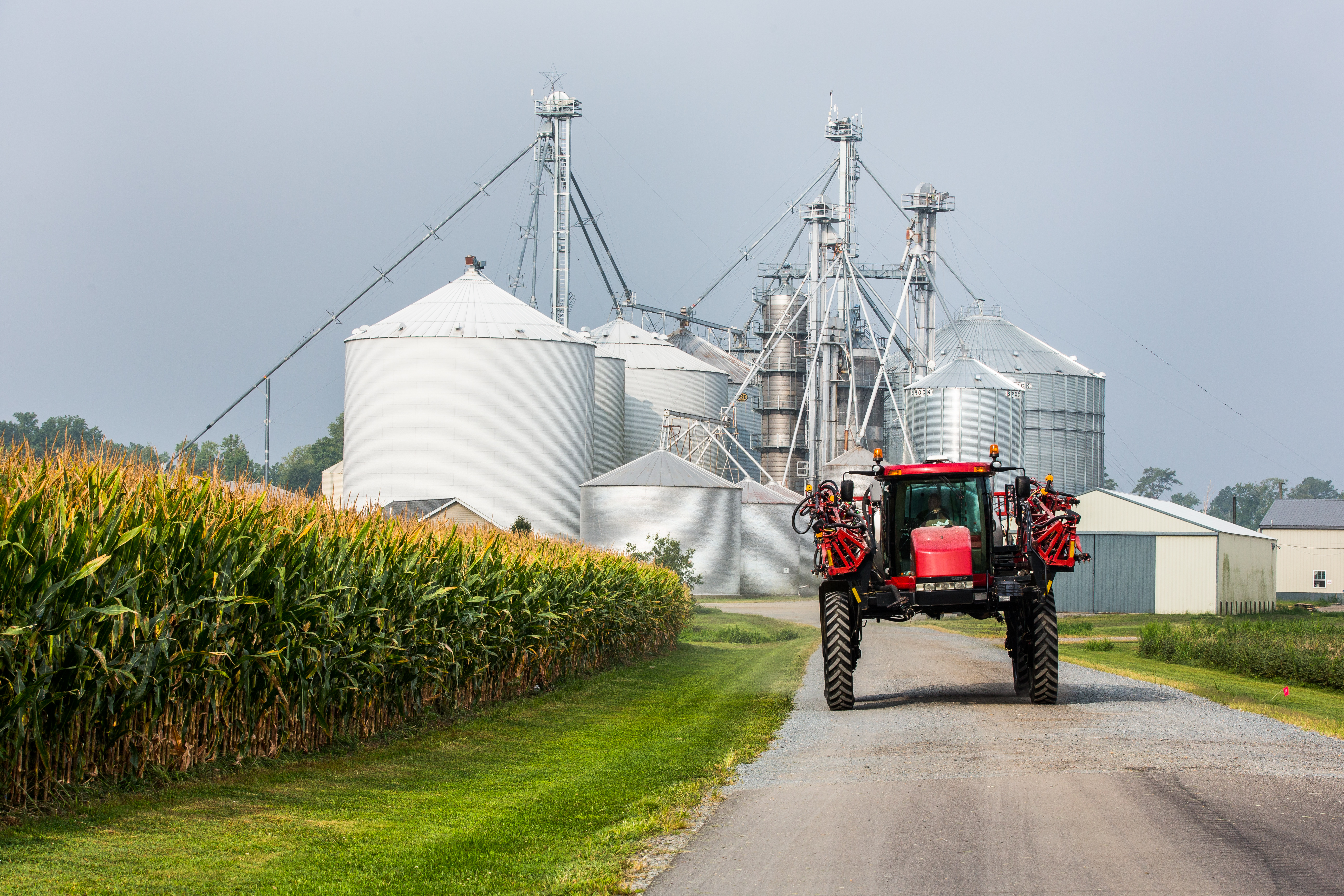
A highboy tractor equipped with sensors passes through a field at the USDA research farm in Beltsville.
FarmBeats collects data from multiple sources, such as sensors, drones, satellites and tractors and feeds it into cloud-based artificial intelligence models that provide a detailed picture of conditions on the farm. Since most farms have little or no internet access, FarmBeats transmits data via TV white spaces, the unused broadcasting frequencies between television channels, to an edge device at the farm and onto the Microsoft cloud.
The USDA pilot is testing out FarmBeats technology on two crop systems experiments at the Beltsville farm. If all goes as planned, the functionality will be rolled out to 200-plus farms in a nationwide research network, from mom-and-pop operations to large commercial farms. The farmers will be able to see the data generated by FarmBeats in real time; the USDA researchers will use that data to inform their own work and provide web-based tools and site-specific insights to farmers to help them better allocate resources and refine their methods.
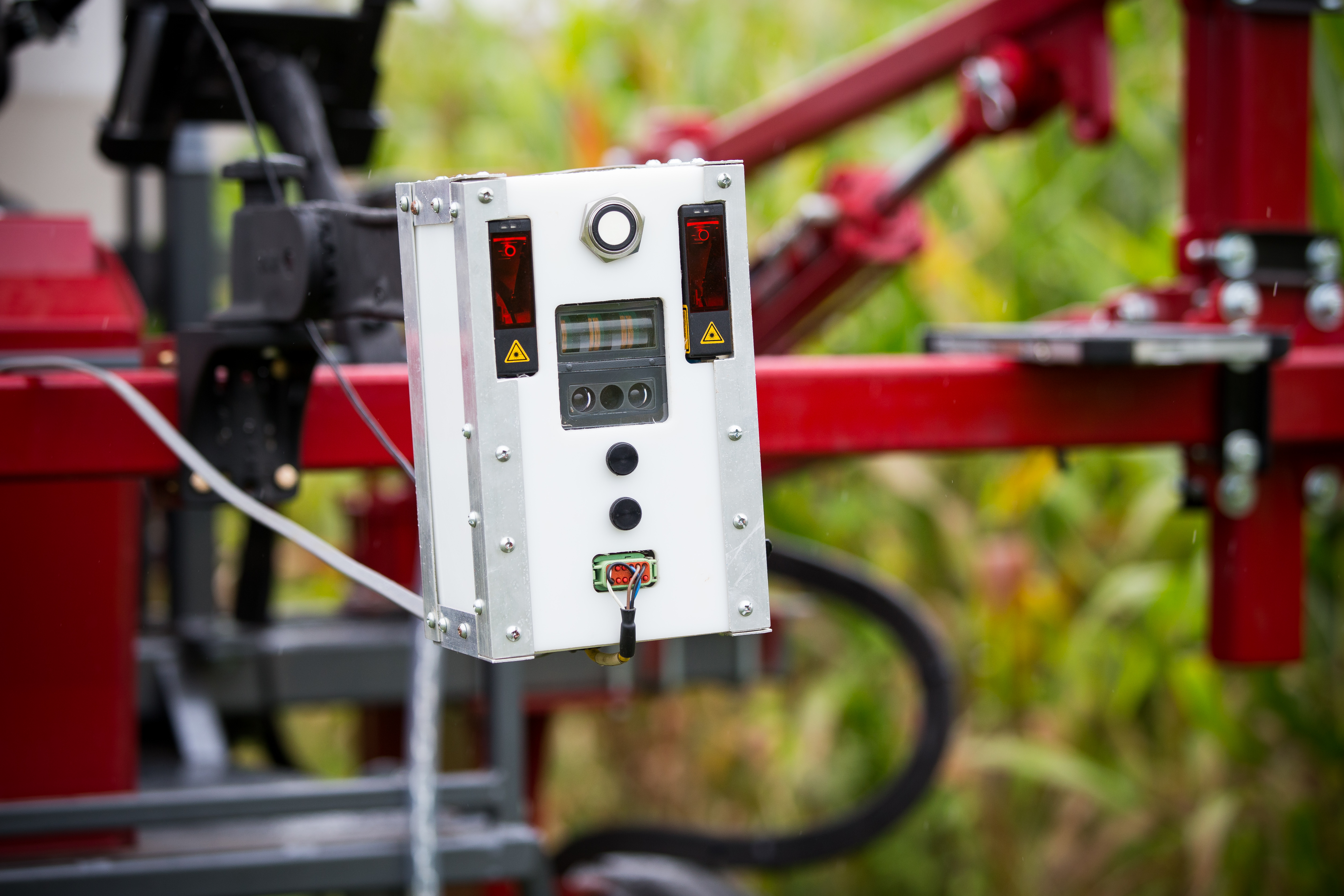
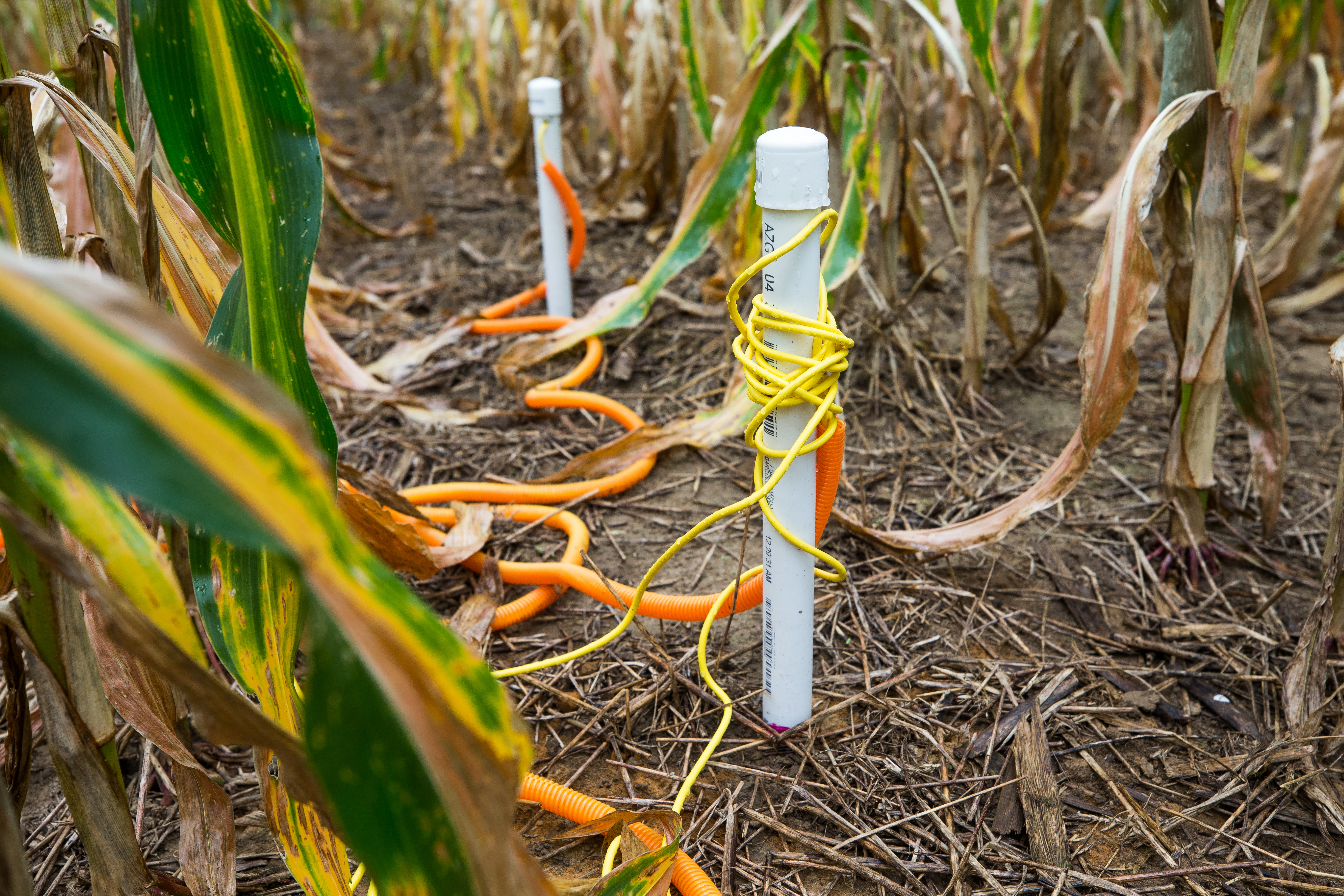
The pilot is focused on cover crops, grown during the off-season to limit weeds, manage pests, prevent erosion and improve soil for the main crops. At the Beltsville farm, sensors are measuring soil temperature, humidity and acidity. The sensors also track water levels in the soil, which help determine how much water is retained after increasingly common heavy rainfalls and in turn, inform water budgets for a growing season. A weather station tracks air temperature, precipitation and wind speed, and a tractor with an array of sensors will assess crop heights, biomass and greenness — an indicator of plant health.
The project is using geographic information system mapping software from California-based company Esri. Microsoft and Esri joined forces to provide the USDA with a platform designed to feed the world’s growing population in an environmentally sustainable way, Esri President Jack Dangermond says.
“As a result, farmers will have a quicker and more innovative way to implement practices that directly benefit the climate, and the partnership will also provide an avenue for them to cost-effectively bring new agriculture products to market based on good science,” he says.
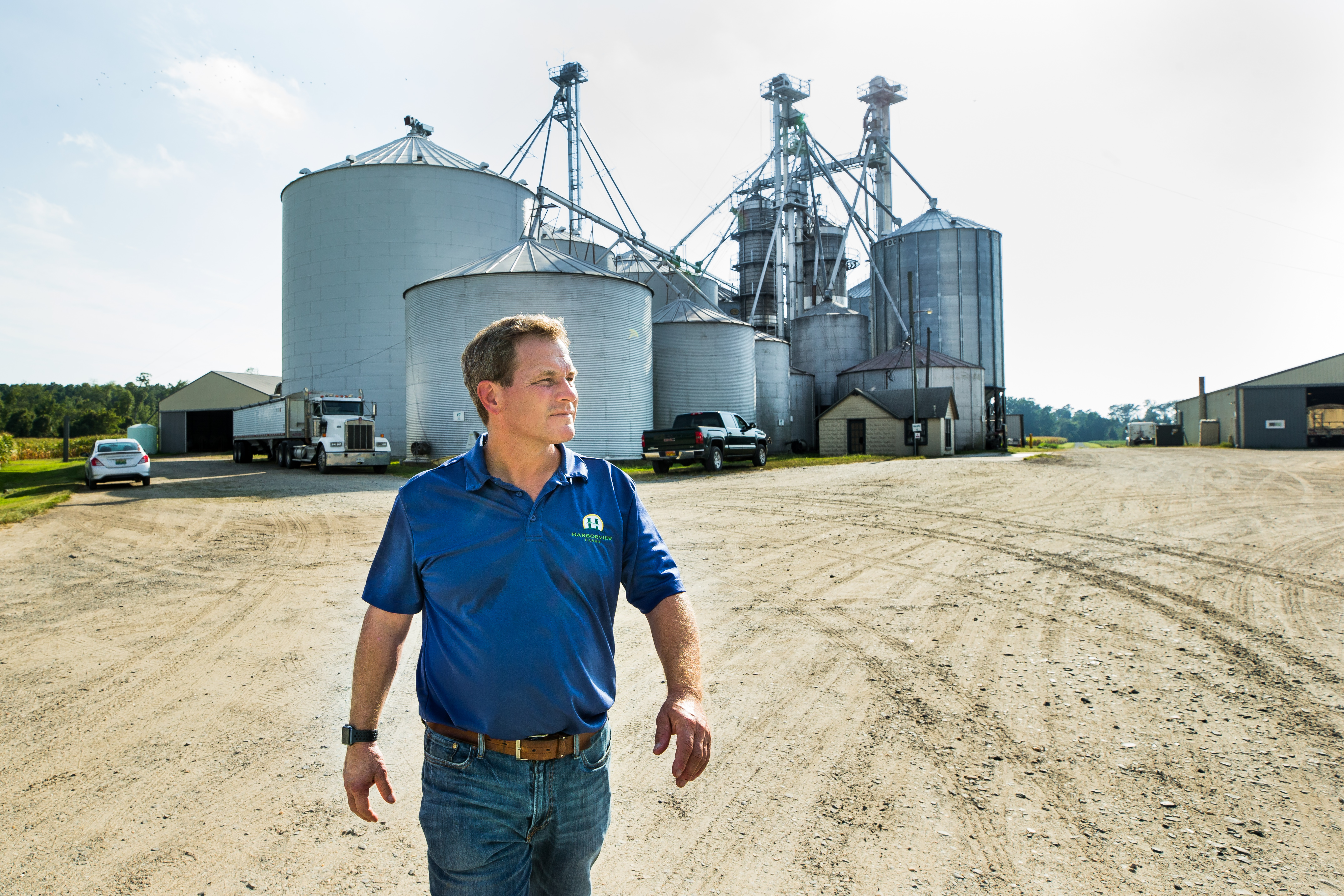
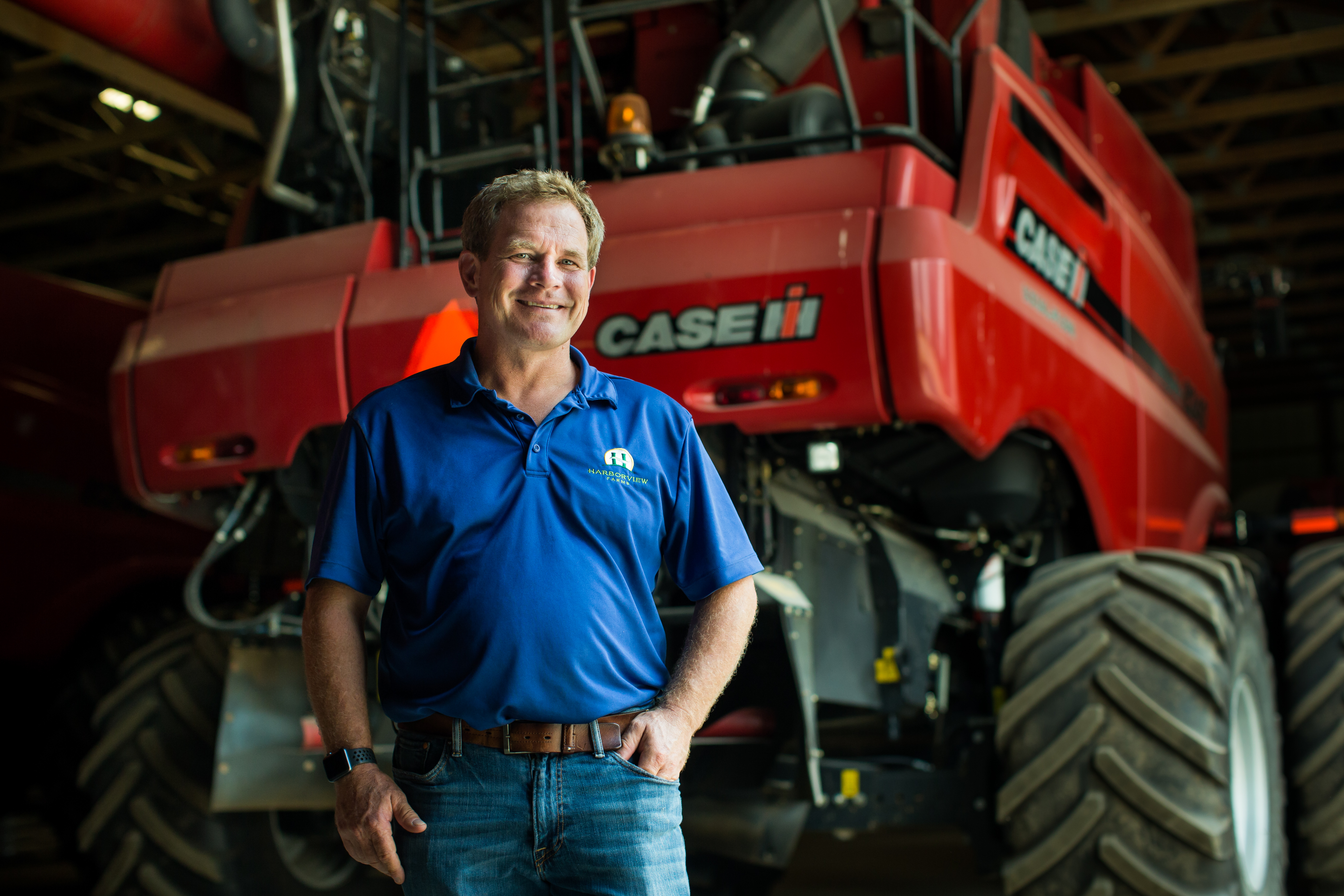
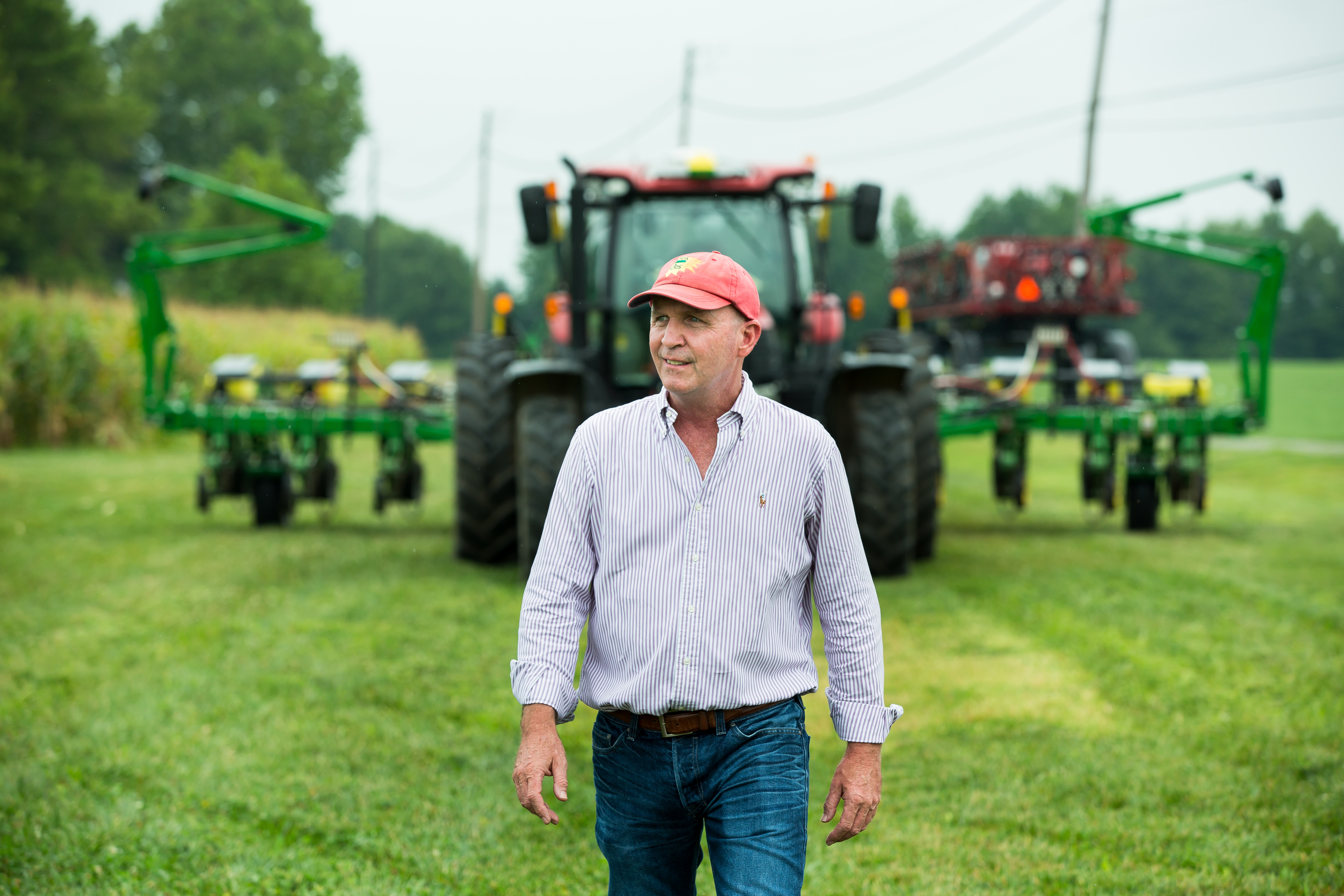
Trey Hill, CEO of Harborview Farms in Rock Hall, Maryland.
Almost 90 miles east of Beltsville, Trey Hill squints against the afternoon sun as he looks out at the land his family has been farming for more than a century. Harborview Farms is headquartered in Rock Hall, Maryland, a charming seaside village on the eastern shore of the Chesapeake Bay, and encompasses 13,000 acres and more than 80 farms over three counties.
The farm mainly grows corn, soybeans and winter wheat, and solar panels power everything but the farm’s grain storage and drying containers. Hill and his father began using cover crops on the farm about 20 years ago to help improve the ecology of the bay and promote biodiversity. Now they plant cover crops over 100% of their fields.
Harborview is part of the Beltsville pilot and has several sensors that are measuring temperature, water and nitrate leaching in the soil. Hill gets satellite images every day that help him see how his crops are doing. Holding up his phone, he points to an image displaying yellow lines that show where one of his crops is suffering.
But the images don’t tell him why, or what’s happening in the soil. Hill thinks his cover crops are helping keep the soil cooler, an important benefit as summers get hotter and drier, but he needs data to verify that claim. And with large rainfalls becoming more frequent, he needs to know if areas with cover crops retain more water, allowing him to use less fertilizer, and whether a particular combination of cover crops increases retention.
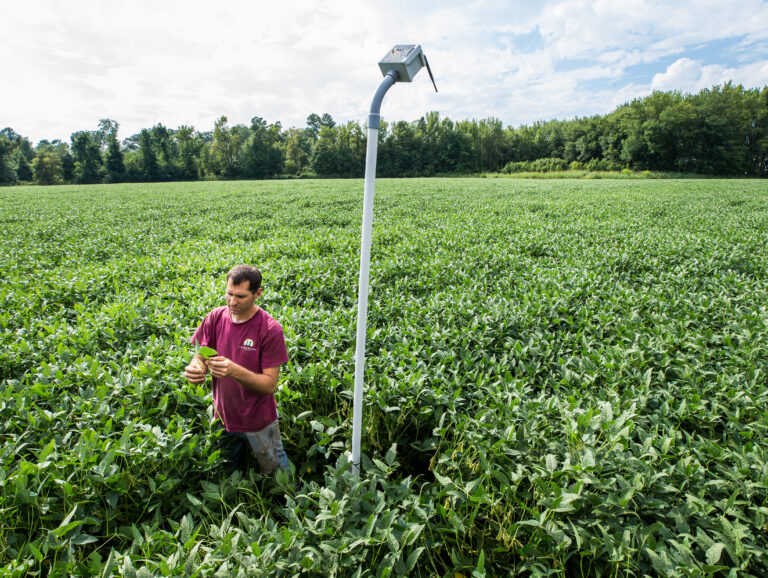
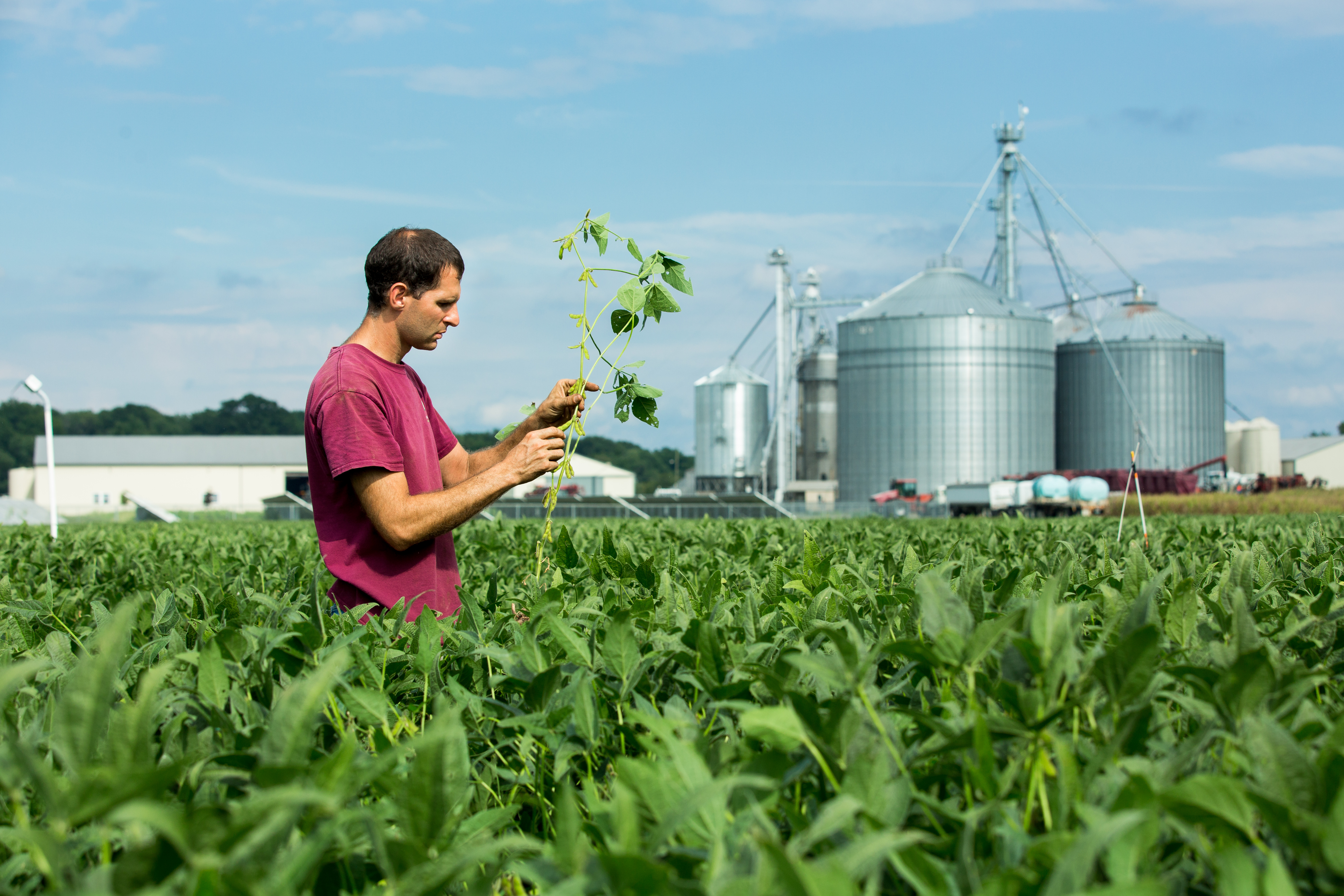
Harborview Farms uses sensors and satellite imagery to track the health and growth of its crops.
“As we’ve been doing cover crops, we’ve seen a lot of different things change in the soil as the soil health grows. The problem is, we’re not able to quantify any of that,” Hill says. “A lot of it’s just things that we see, but we don’t have the science behind it and we don’t have the numbers behind it.”
That’s where FarmBeats comes in. Steven Mirsky, a research ecologist in the Beltsville Sustainable Agricultural Systems Laboratory, will be collecting data from Hill’s crops and helping him analyze it to allocate resources and make crop-management decisions. The farm is currently using three different programs to store and manage data, and Hill hopes to merge the information into a single, user-friendly, cloud-based dataset that is easier to manage.
“We’re getting a ton of data, and we are struggling to figure out how to utilize it all. We’ve got soil data; we’ve got electroconductivity data; we’ve got planting data; we’ve got data from the satellite imagery that we get every day. We’ve got data from the combines that’s giving us yield and moisture of the field as we harvest it,” Hill says. “Somehow, we need to get it consolidated into a common language. Right now, it’s very fragmented for me as a farmer.”
Combining sensor data with imagery from drones and satellites will help the USDA researchers better understand how soil conditions, weather and management intersect to drive crop performance and long-term conservation of water and soil. Armed with that detailed information, they can analyze conditions and pinpoint decision-making down to sections of a field.
“There’s so much spatial variability in a field, from soil, topography and climate perspectives, that we need the data that help us provide site-specific solutions,” says Mirsky, who is spearheading the USDA pilot.
“The only way we can do that is by collecting data across broad climate, soil and management regimes,” he says. “That requires extensive amounts of data, AI and machine learning applications so we can put that all together and make site-specific solutions for farmers.”
Just a decade ago, collecting that data typically meant sending scientists into the field to write information in a notebook. Then the data would be entered into spreadsheets back at the lab and disseminated, a process that was time-consuming, prone to error and arguably not the best use of highly trained scientists’ abilities.
The USDA previously developed its own systems for collecting and analyzing data, Mirsky says, but FarmBeats eliminates that need by providing a standardized platform that allows researchers to fuse data and build machine learning models across datasets. While wireless technologies have made it easier to collect data, they have led to a different issue that FarmBeats also addresses.
“As a research scientist with lots of different hardware and sensing technology at my fingertips, the challenge these days in agriculture is not getting data,” Mirsky says. “It used to be, ‘How do you get data?’ Now it’s all about, ‘What do you do with all of this data?’ FarmBeats is providing us with a mechanism for data aggregation, visualization and analytics in the cloud.”
With more than 90 research stations and some 2,000 researchers and scientists around the country, the USDA has struggled with what Michael Buser, the department’s national program leader for engineering, calls “siloes within siloes” — large amounts of data that sit on employees’ hard drives and in filing cabinets that are not accessible to other USDA staff.
“The way we’re structured, we’re not capturing all the value from the data. It’s a huge loss for the agency,” Buser says.

Michael Buser, the USDA’s national program leader for engineering, at the department’s research farm in Beltsville.
Migrating that data into a centralized, secure Microsoft Azure repository will allow the USDA to capture historical and future data that can be helpful to researchers, Buser says. He also sees potential for FarmBeats to be used for continuous monitoring operations at USDA weather stations, animal research sites and other locations to reduce staff time and cut costs.
“We see FarmBeats as providing us the opportunity to bring that information back into the cloud more quickly and with less human interaction, less data touches,” Buser says.
“When we think about big data, we have challenges beyond just how do we get all this information into a system. We also have the economic piece. When you think about having 90-plus research locations, 2,000 scientists and post-docs and how much that costs, that’s a consideration. I think FarmBeats could be that economic piece that we’re looking for.”
FarmBeats’ use of TV white spaces is key. The technology will allow the USDA to involve more farms in its research network and provide the bandwidth needed to transmit images. For example, if a crop is stressed, an image showing the plants can be sent to the farmer’s computer or cell phone to help with assessing the situation.
“That speaks volumes, and we just couldn’t do that previously,” says Chris Reberg-Horton, a crop and soil sciences professor at NC State University who launched the farm research network with Mirsky four years ago.
“The reality is that farmers don’t see any of their fields very often. An average row crop farm in America is around 5,000 acres, but a lot are north of 10,000 acres, and those fields can be spread out over multiple counties,” Reberg-Horton says.
“As farm sizes have increased, the need for some type of monitoring system for all those fields has increased.”
FarmBeats was started in 2015 by Ranveer Chandra, now the chief scientist at Microsoft Azure Global, who had worked on his grandparents’ farm in India as a child and saw data as a way to help farmers grow better food and improve their livelihoods. The initiative grew out of an employee hackathon project to become a signature project within Microsoft AI for Earth, a program that provides cloud and AI tools to organizations for sustainable solutions development for environmental challenges.
The USDA pilot will be an important test case, at a high-profile research farm near the nation’s capital, for the program. FarmBeats is in private preview and being used at a handful of farms in several states. Matthew Kerner, general manager for industries and blockchain at Microsoft Azure Global, says Microsoft is continuing to work with device manufacturers to integrate FarmBeats capabilities into their products and hopes to make the program generally available in about six months.
“We believe that precision techniques and being able to use data to make the world better is a pattern that can be applied across many industries,” he says. “Behind FarmBeats is our desire to apply that to agriculture.”
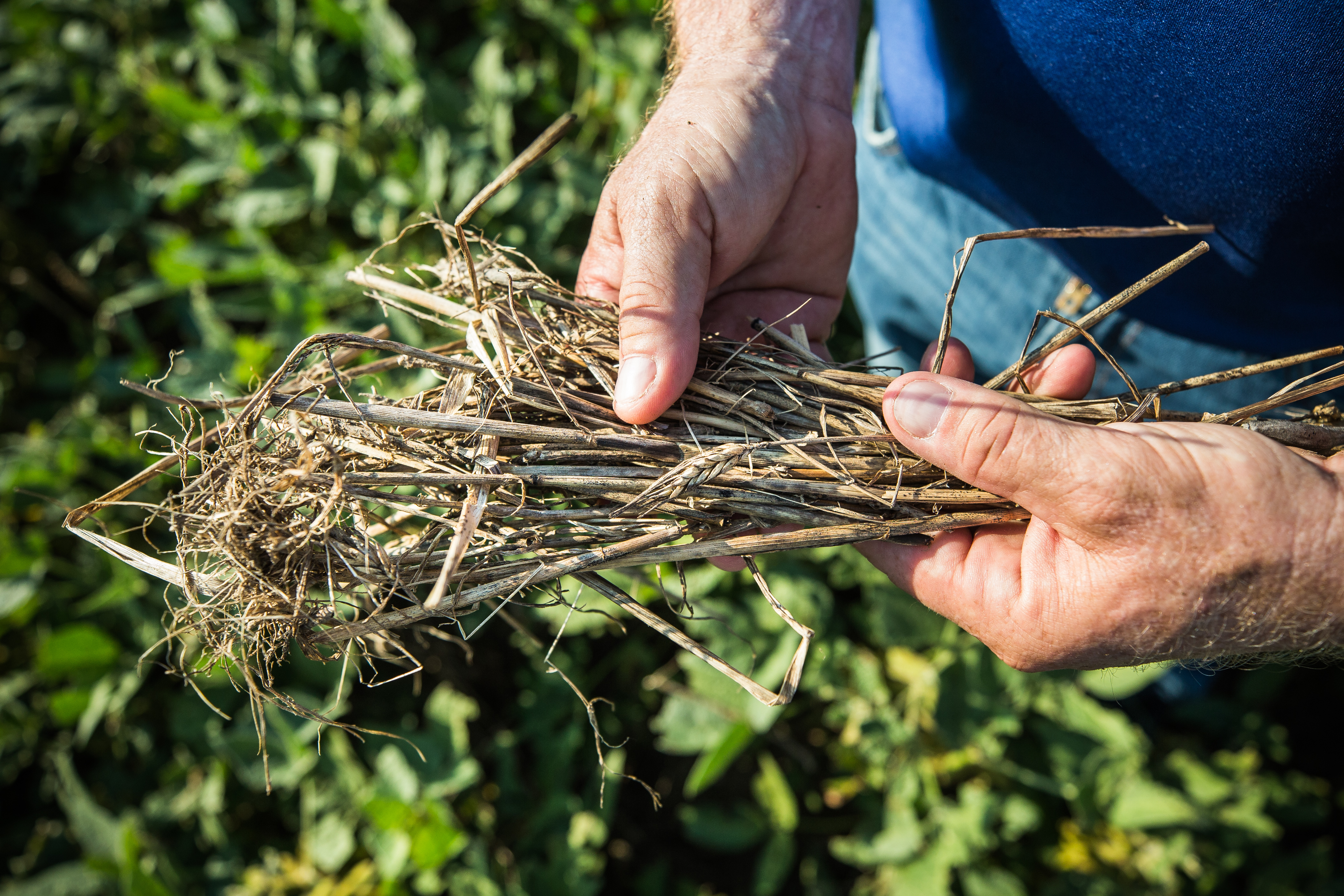
Trey Hill holds a handful of plants that served as cover crops to help improve soil and conditions for Harborview Farm’s main crops.
For Hill, data has become an increasingly important tool for mapping out Harborview’s future. He’s also collecting data for an initiative that he hopes can demonstrate carbon neutrality in the farm’s soil and allow the farm to sell carbon credits. Data is becoming increasingly important to farming since consumers, particularly younger ones, want to know where their food is coming from, he says.
“Transparency in food is a big issue. A farmer my size is going to have to be transparent,” he says. “If I’m using conservation-oriented practices, hopefully that establishes value and faith in the consumer, and a lot of that is going to revolve around this ever-changing dataset.”
Ultimately, Hill hopes his work with Mirsky will affirm the approach he and his father have developed through decades of seeing, touching and working their land, watching the soil and plants grow as the seasons change and the years pass.
“Hopefully what I’m doing is correct,” he says. “I hope that I’m right. But what Steven’s going to do is start to validate that and quantify it — or perhaps tell me that I’m wrong, which would be fine too, because that would probably be a good learning experience.”
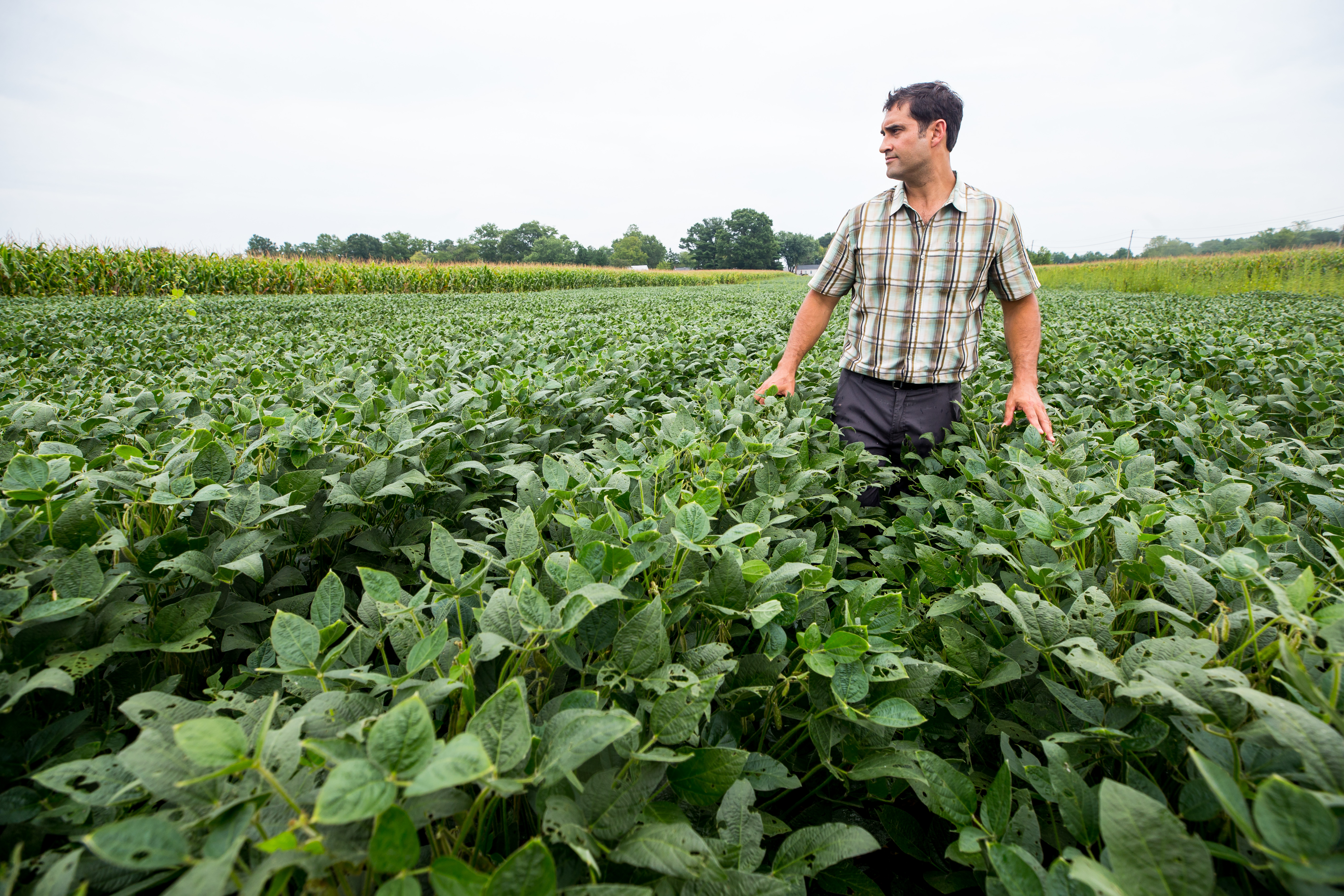
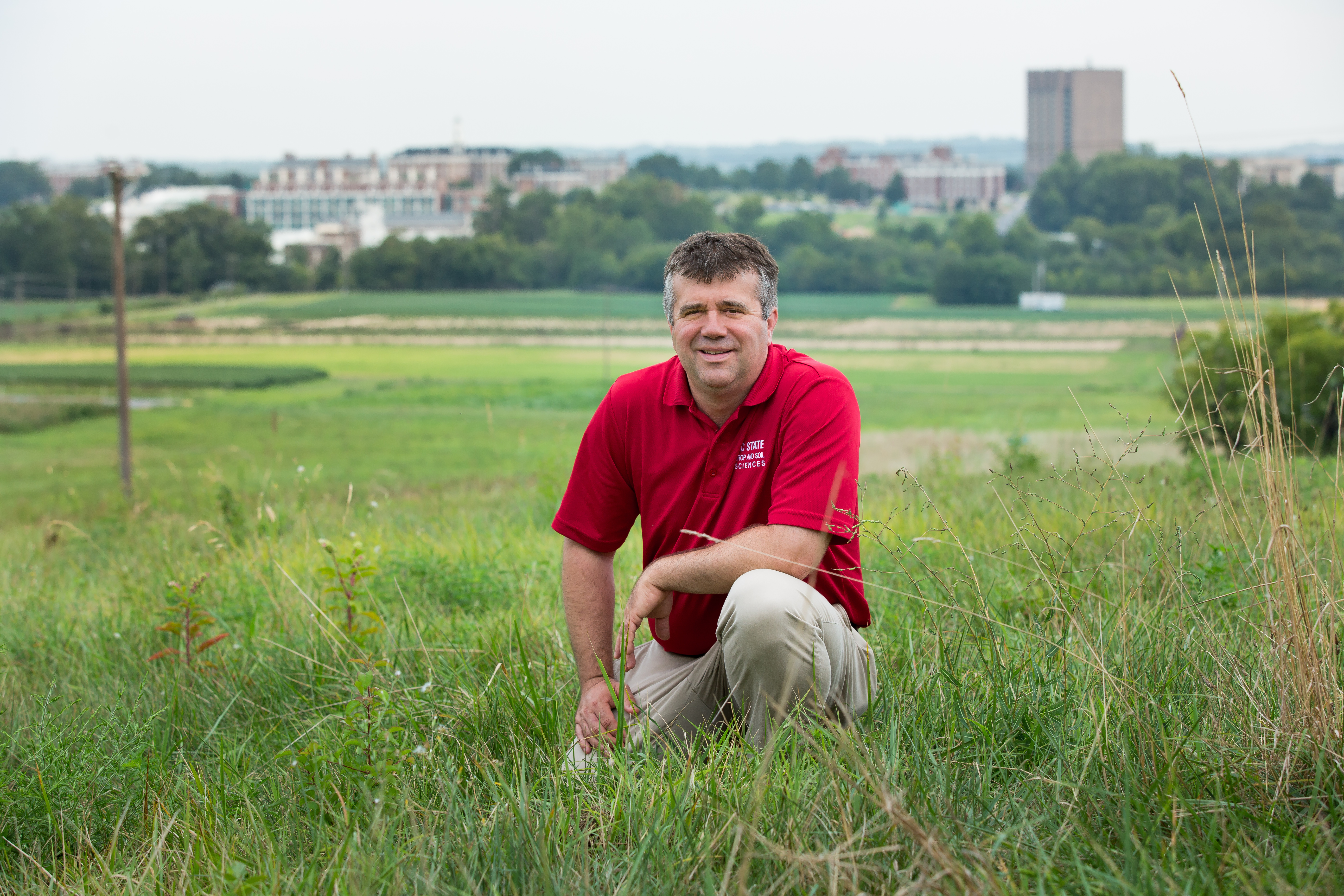
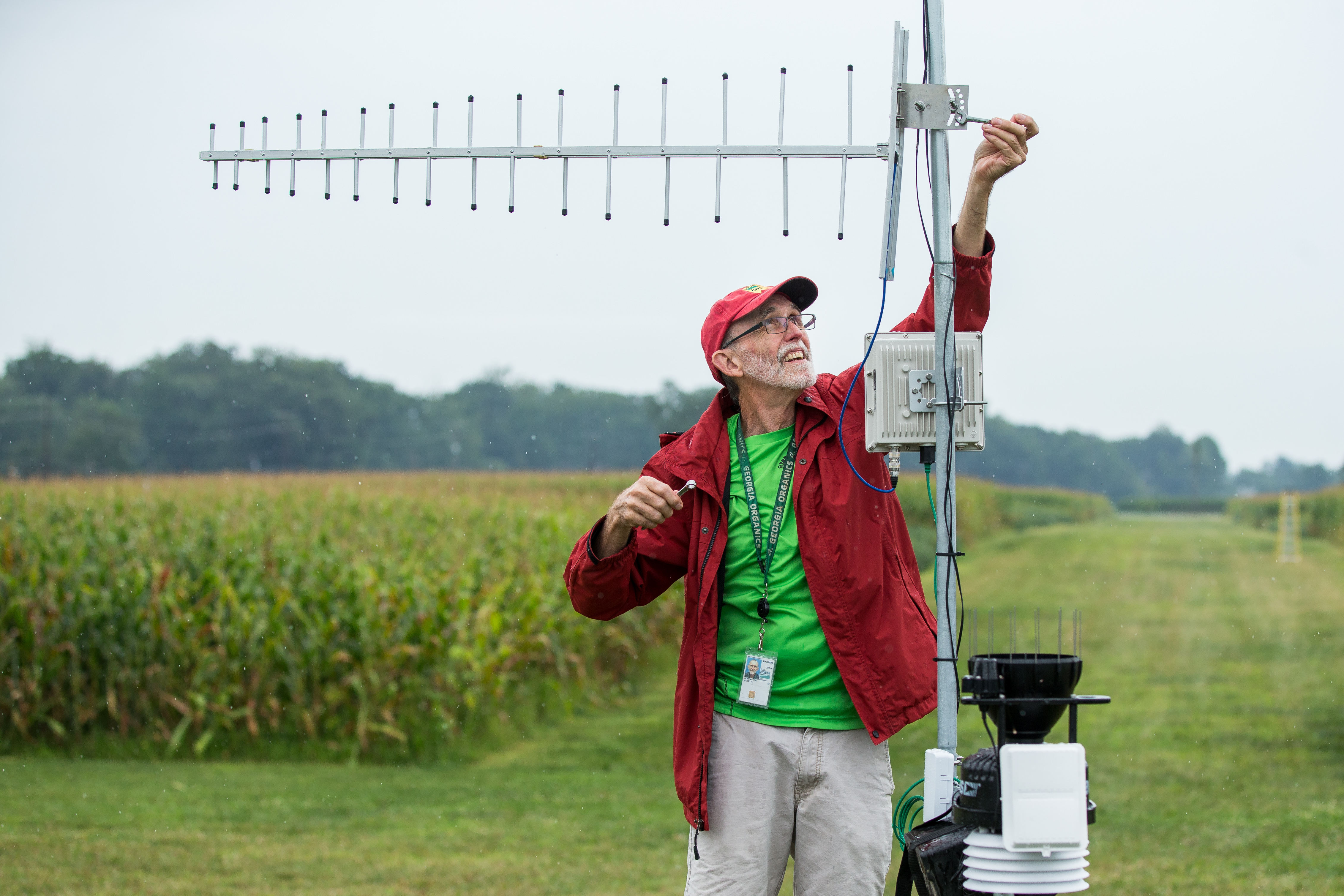
Lead image: Steven Mirsky, a research ecologist in the USDA’s Sustainable Agricultural Systems Laboratory in Beltsville, Maryland. Images by Dan DeLong