
A bus that catches all the green lights? Los Angeles Metro explores the idea with data
The Metro bus system in Los Angeles County serves a vast area of more than 1,400 square miles, 10 million people and nearly 16,000 bus stops. But getting people to ditch their cars has been tough, with bus ridership declining in recent years.
The trend mirrors a national downturn in transit use, in which vehicle sales have surged and gas has been relatively cheap – both factors for more congestion. At the same time, a recent survey by the Los Angeles County Metropolitan Transportation Authority (“Metro”) found that many people have been concerned about longer travel times, service reliability, security and changing travel patterns.
To woo people back on board, Metro is overhauling its bus service in a years-long project that will include free Wi-Fi on all 2,200 of its buses by 2019. Launched last year on 150 buses, Wi-Fi will do more than help riders check email and surf the web. Officials say data from wirelessly connected buses can make them faster and safer, generate more revenue and prepare Metro for the dawn of autonomous vehicles.
“We’re looking for ways to boost ridership, but we’ve also done some things with an eye toward the future, when we will conceivably have vehicles without any drivers,” says Doug Anderson, senior director of digital strategy and innovation at Metro.
Wi-Fi is replacing the agency’s radio-based traffic management system, allowing the agency to pull real-time, bus-location data more often – every 5 seconds, instead of every 3 minutes. The richer data will power more efficient bus routes, more accurate arrival predictions and more digital services for Metro’s customers.
Riders often report security problems to drivers, or ask about routes and stops. But what happens when those drivers disappear from autonomous buses?
For buses with Wi-Fi, Metro has created a new customer app with helpful information, including a map of a bus’s location, route and next three stops. Built with Microsoft’s Azure cloud technology, the app can instantly connect customers with an on-call Metro agent, who can see the same map, chat and answer questions.
“It’s like they’re riding with you and have everything at their fingertips in terms of connections and schedules to efficiently help you,” says Anderson.
To improve transit safety, the app also allows customers to tap a red button to quickly report security problems to Metro’s 24-hour staff. Within seconds of a report, security officers and police departments can see where the bus is on a map and a live video feed from 10 on-board security cameras.
“They can immediately see what’s going on inside the bus and determine the appropriate response,” Anderson says.
Data is also driving an innovative project to improve service for the Orange Line, an 18-mile bus route in San Fernando Valley, a large region in Los Angeles County. The route uses a bus-only lane, so buses don’t compete with cars in traffic, but do have to stop at traffic lights. Officials are combining data from traffic signals and connected buses to find the optimum speed for safely catching as many green lights as possible.
“That will speed things up for customers and can increase frequency of service, because we might be able to add an extra run in the day,” says Anderson. “And we’re doing it in a way that we can apply it to other routes and share the technology.” The pilot project is part of Metro’s approach in developing and testing cloud-based software in-house, and making it open source and easy to use for other transit agencies.
Other Metro data projects include predictive maintenance, customer trip guides with real-time information and targeted advertising. Metro doesn’t track customer location, but can track web activity of Wi-Fi users by bus location, route and time of day. The data can feed demographic profiles for targeted, digital ads on bus exteriors that generate more revenue than paper ads currently in use.
Anderson says the data can also fuel better historical databases of road accidents and security incidents, helping drivers watch for hazards and police departments to assign patrols.
“All that work makes buses safer, faster, more efficient and more responsive to customer needs, and hopefully that improves our ridership,” he says.
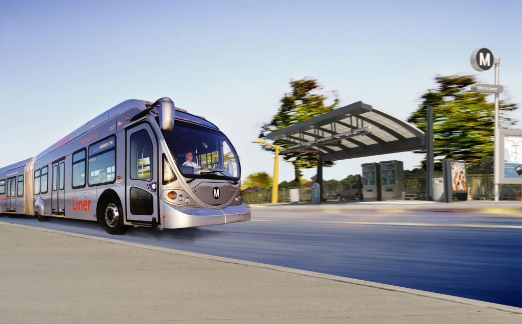
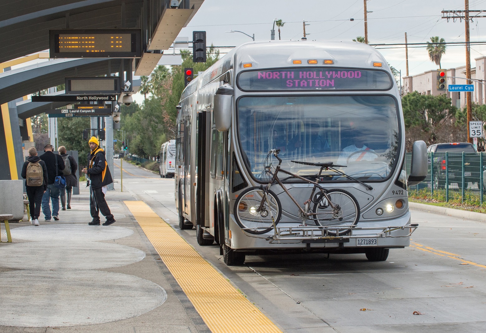
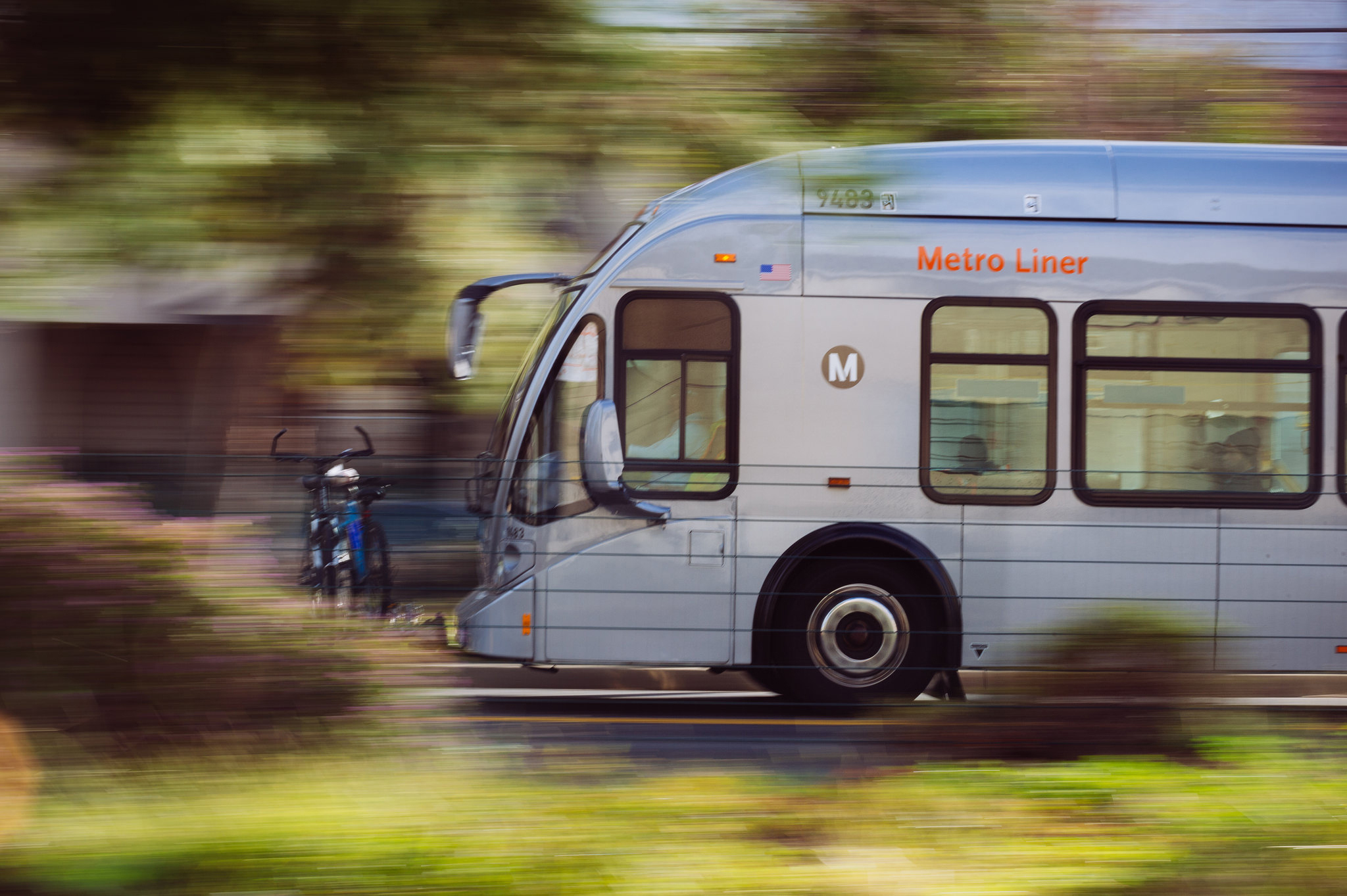
All photos: Los Angeles Metro Orange Line bus. Courtesy of Los Angeles County Metropolitan Transportation Authority.
.


