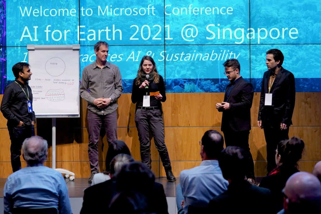
As part of our AI for Earth commitment, Microsoft supports five projects from Germany in the areas of environmental protection, biodiversity and sustainability. In the next few weeks, we will introduce the project teams and their innovative ideas that made the leap into our global programme and group of AI for Earth grantees.
Between 2010 and 2050, the global road network is expected to grow by 60 percent. Many of the new roads will emerge in areas that are still undeveloped in Africa, South America or Asia, further limiting the habitats of endangered animals. Many roads are unplanned or even illegally built. In rainforests, which are very important for the global climate, illegal road construction already leads to deforestation, slash-and-burn and colonization.
In these often inaccessible areas, the monitoring of these activities is extremely difficult. Additionally, comprehensive map data that documents already existing roads is also lacking. That is exactly what RoadMapMonitor wants to change. The idea is to use AI to analyze satellite imagery to provide a tool for monitoring, controlling, planning and decision-making to authorities, residents and environmentalists around the world.
Harald Hentschke, a trained biologist, was about to become a data scientist when he discovered a tender of Nature magazine calling on AI experts to focus on the topic of road construction in ecologically sensitive areas. In the Berlin “Data Science Retreat” he immediately found two colleagues, physicist Lisa Heße and software engineer Kiran Prakash. As a pilot project they started with a hard to reach region in the Indonesian part of Borneo.
The rainforest is already criss-crossed by non-mapped roads that endanger the natural habitats of orangutans and elephants living there. Together, within a few weeks, the team was able to find suitable satellite images insufficient resolution and to train a neural network that not only recognizes roads in the images, but also differentiates them from smaller rivers or elephant paths.

Further momentum was reached by the two-day EarthLab from Microsoft Berlin and Fraunhofer CeRRI. In addition to great input and exciting contacts, Hentschke and his team were also to find two more supporters: data expert Matthias Bohner and political scientist Tim Sergio Gago, who along with Erik Seiert, a graduate student of geosciences, now complete a six-man team. The RoadMapMonitor project was also accepted into Microsoft’s global AI for Earth program immediately after the EarthLab.
Thanks to the program, the team now has enough AI and computing power from the Microsoft cloud to further develop their prototype. There is now no shortage of technical possibilities. While all the team members also have regular jobs, their tight schedules are driven by plenty of ambition and enthusiasm. Hentschke: “We will take the RoadMapMonitor project to the next level and develop a universal system that can detect roads in rural areas, especially in the rainforest, all over the world.”
AI for Earth
The AI for Earth program helps researchers and organizations to use artificial intelligence to develop new approaches to protect water, agriculture, biodiversity and the climate. Over the next five years, Microsoft will invest $ 50 million in “AI for Earth.” To become part of the “AI for Earth” program, developers, researchers and organizations can apply with their idea for a so-called “Grant”. If you manage to convince the jury of Microsoft representatives, you´ll receive financial and technological support and also benefit from knowledge transfer and contacts within the global AI for Earth network. As part of Microsoft Berlin´s EarthLab and beyond, five ideas have been convincing and will be part of our “AI for Earth” program in the future in order to further promote their environmental innovations.
At #DigitalFuerAlle you can continue to follow the development of the projects and our #AIforEarth initiative.
Would you also like to apply for a grant from the “AI for Earth” initiative?


