Indigenous knowledge and AI help protect baby turtles from predators on Australia’s remote Cape York
Life slows down a lot when monsoonal rains sweep over Australia’s tropical north. Local people call the year-end drenching the “Big Wet” and welcome the respite from relentless scorching summer heat.
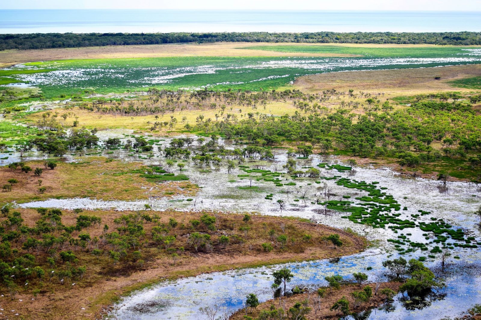
The torrential downpour also dramatically transforms the region’s spectacular landscape. Vast tracts of terrain can remain cut off by floods and mud many months after the rains have stopped and the skies have cleared. Overland travel can be slow and difficult, and sometimes impossible.
This prolonged isolation spells big trouble for the survival chances of some tiny residents on the western shores of Cape York Peninsula – endangered baby turtles. Unless teams of Indigenous rangers find and protect them first, they can be easy prey for predators, particularly feral pigs. Thousands have been lost this way every year.
Now an alliance of Indigenous landowners and scientists is applying a mix of aerial surveys, AI and cloud technologies and traditional knowledge to locate otherwise hard-to-find turtle nests before the pigs do.
With precise near real-time location data, rangers can move faster to safeguard the nests and thousands of hatchlings so turtle populations can bounce back in the years ahead.
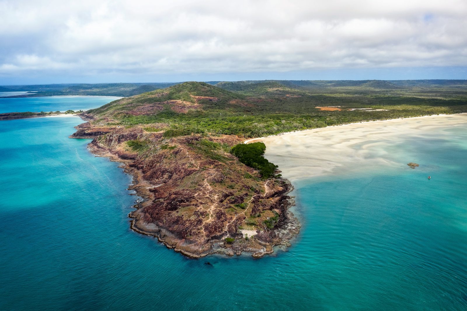
There are only seven marine turtle species on the planet, and all are threatened by human activity, environmental changes and predators. Three species nest on the west coast of Cape York – the Hawksbill, the Flatback and the Olive Ridley.
Research, management techniques and technologies being developed in Australia could potentially help protect multiple turtle nesting regions around the world.
“With this system, what normally takes one month of monitoring work on the ground takes two hours using a helicopter or drone,” says Justin Perry from Australia’s national science agency, CSIRO.
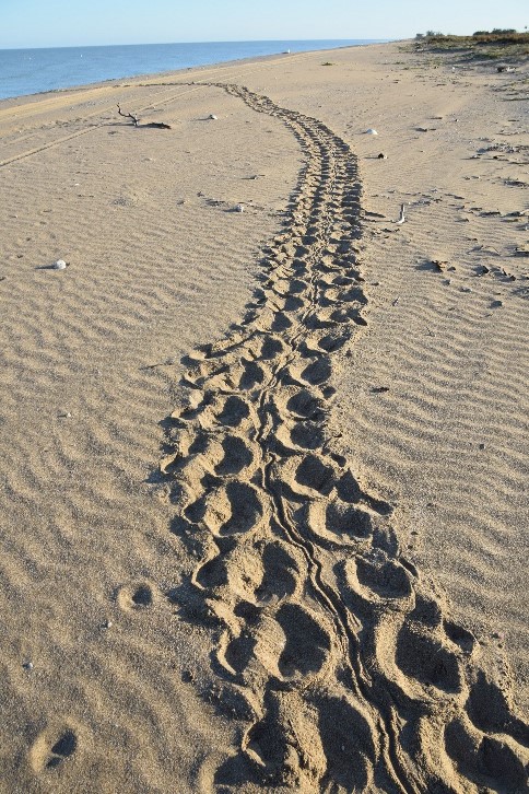
The turtle life cycle starts when adult females drag themselves out of the warm waters of the Gulf of Carpentaria and onto Cape York’s beaches. They dig nesting holes with their flippers: some in the dunes, some on the beach. Each lays as many as 100 eggs, covers them with sand and then crawls back into the sea.
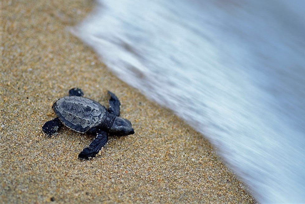
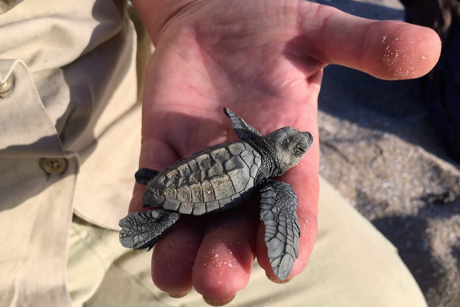
If left undisturbed, the eggs will incubate. Hatchlings will emerge about seven weeks later and inch their way across the sand and into the ocean. But nature’s odds are stacked against them.
Once a baby turtle enters the ocean there are hundreds of ways it can die. The more that hatch and make to the water, the more chance a few will reach adulthood and breeding age, which in some species can be around 30 years. That is why mothers lay so many eggs in each nest and why keeping nests safe is so important.
Nests are most vulnerable in the first few days after the eggs are laid. This is when the mother turtle’s tracks are still visible to predators and when the scent of the eggs is strongest.
That means researchers and Indigenous rangers need to find, study and secure the nests as quickly as possible. But doing this is easier said than done.
After the unrelenting rains of the Big Wet, even powerful off-road vehicles can get stuck on muddy bush tracks or boggy stretches of sand. Flooded rivers are wide and dangerous to cross, not least because they are home to crocodiles.
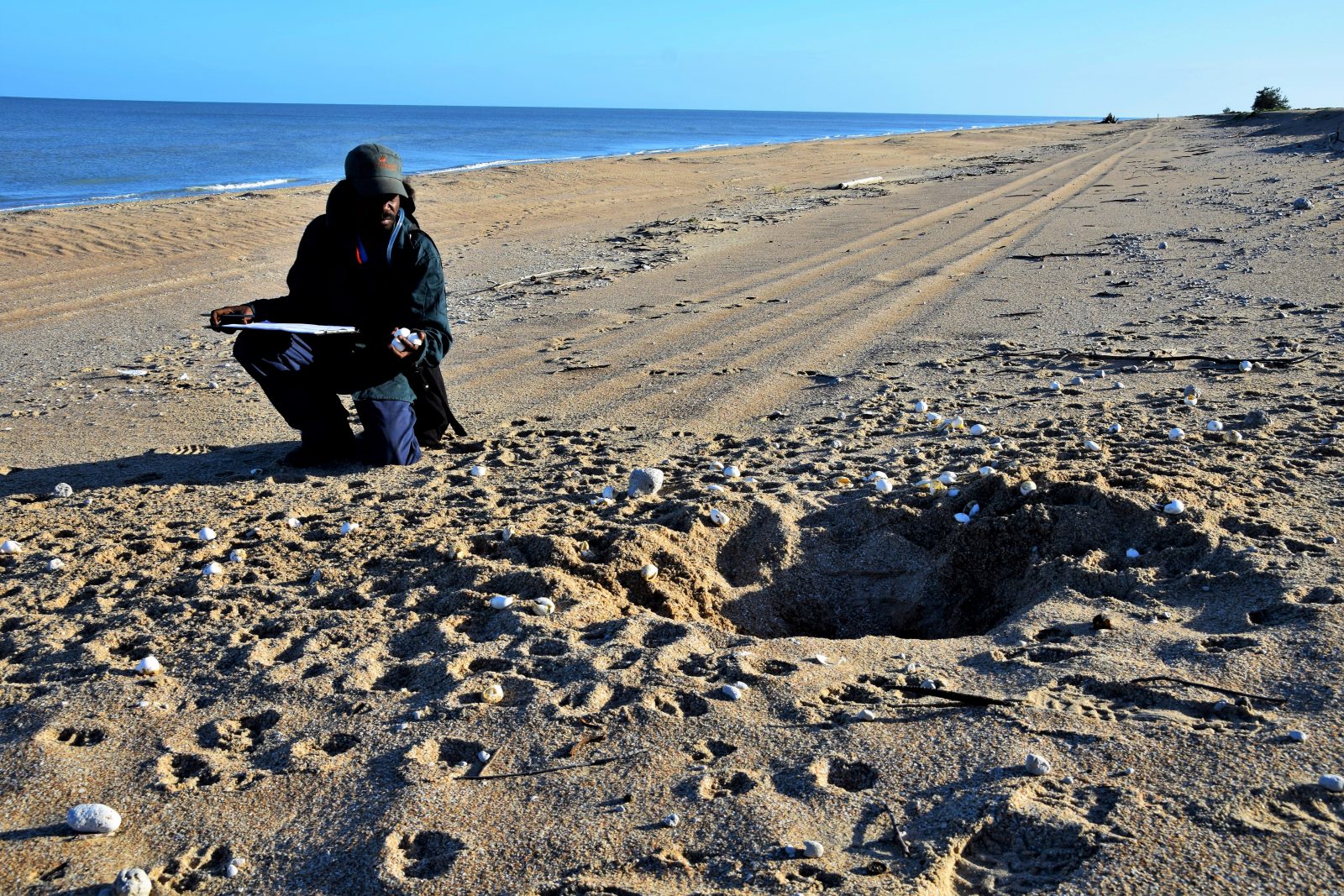
It might take weeks for rangers to locate a turtle nest, and too often they arrive too late: pigs or other predators have already dug up and eaten the eggs.
But that’s changing. With the help of Microsoft, researchers and Indigenous communities can now take to the air to understand what is happening on the ground – monitoring nests and predators remotely.
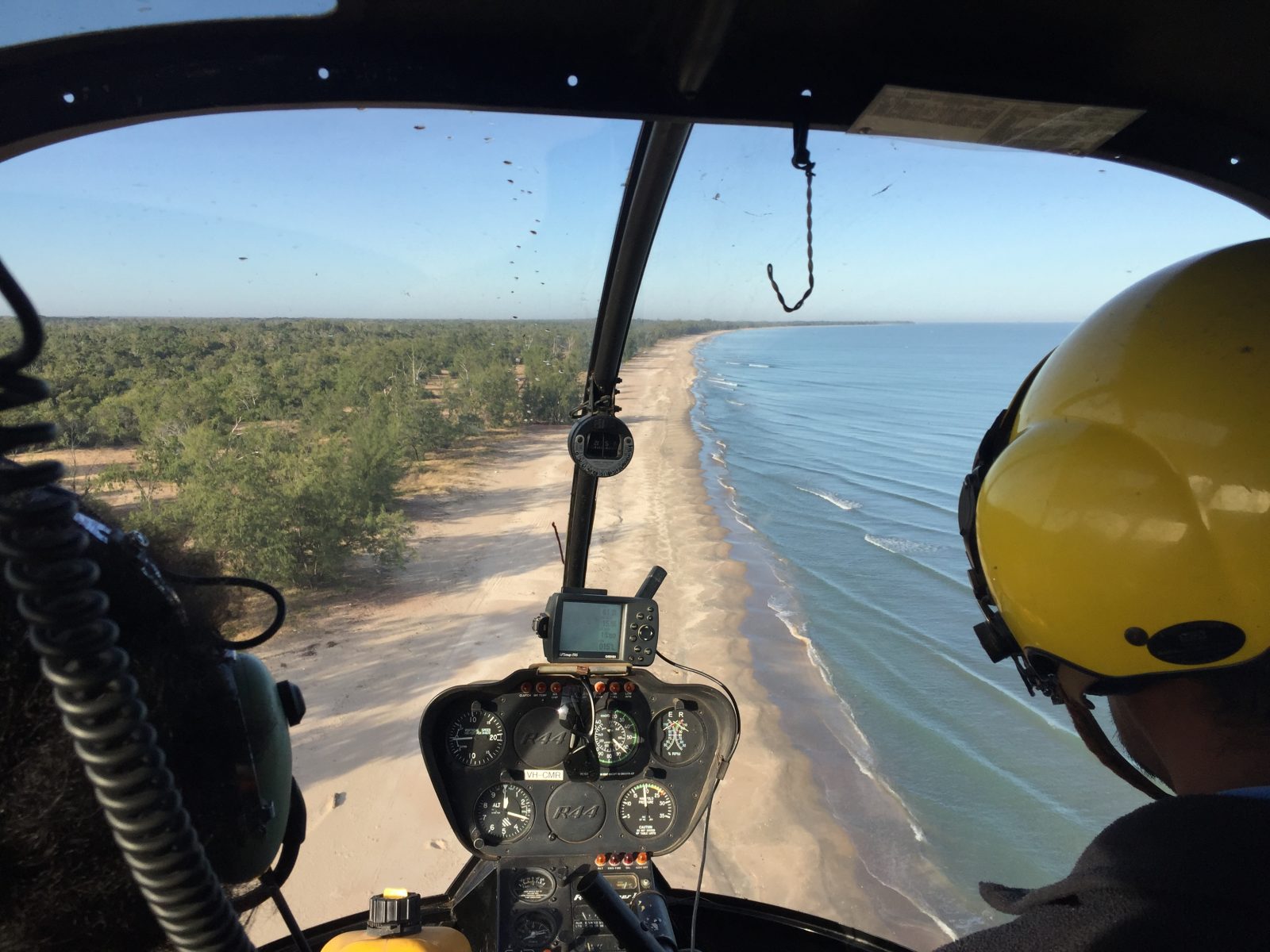
Cameras mounted on drones and helicopters scan beaches for turtle and predator tracks. Thousands of images are then processed and analyzed with machine learning, AI and cloud computing.
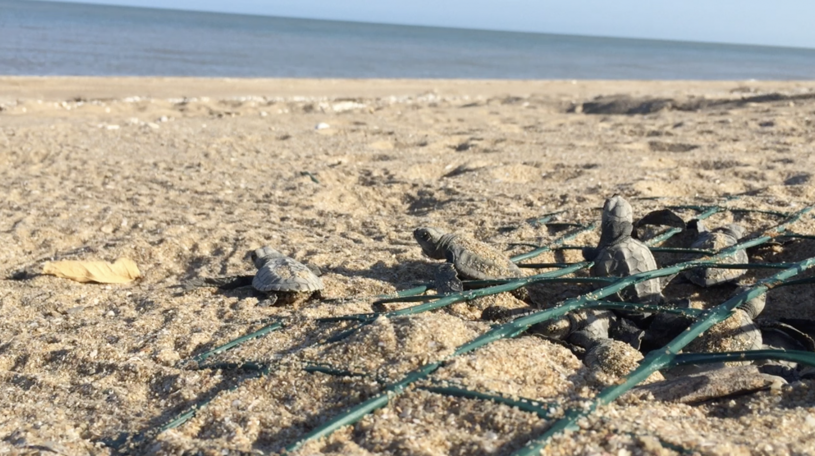
Armed with precise real-time location and tracking information, Indigenous rangers can move in. They protect nests with cages, netting and fencing strong enough to keep predators out but with gaps big enough for hatchlings to crawl through. Sometimes predator numbers are controlled through targeted culling.
Turtles and their eggs have been sustainable traditional food sources for Indigenous people here for millennia. Native dogs known as dingoes and lizards called goannas also prey on turtle nests, but their impact is regarded as marginal under natural conditions.
What poses a clear and present danger for baby turtles today are uncontrolled populations of introduced feral pigs, the wild descendants of farm animals brought to Australia by European colonizers more than two centuries ago.
If a hungry pig finds a nest, the survival rate for turtle hatchlings and eggs is likely to be zero. One pig can raid several nests in one night, according to Indigenous rangers and scientists.

“The good news is that we can do something about it, and we are,” says CSIRO’s Perry.
Leading the program to save the turtles is Aak Puul Ngantam (APN) Cape York – a not-for-profit organization run by the region’s Indigenous Southern Wik people. It has teamed up with CSIRO and Microsoft with support from the Australian Government’s National Environmental Science Program (NESP) through its Northern Australia Environmental Resources Hub.
The Southern Wik people are the traditional owners of this part of Cape York. “Aak Puul Ngantam” translates as “our father’s father’s country” in the local Wik Mungkan language and refers to how they have lived on and cared for their ancestral homelands for many thousands of years.
APN Cape York and its corps of Indigenous rangers have been working with CSIRO researchers on initiatives that are culturally and environmentally sensitive as well as sustainable since 2012.
Perry says current protection efforts are focused on Olive Ridley and Flatback turtles. “Our biggest concerns are for the Olive Ridleys. Their nests are shallow and are generally laid on the beach rather than in the dune vegetation. So, they’re very exposed.”
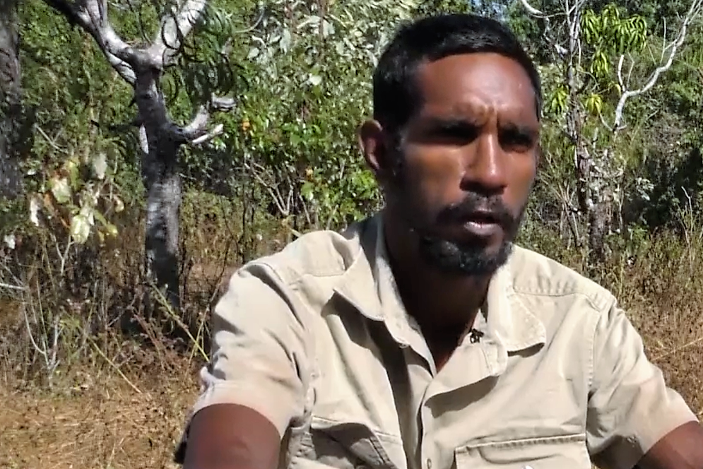
Indigenous Ranger Dion Koomeeta works on beaches south of the town of Aurukun. “Most of the pigs are destroying our beaches, digging up all our turtle nests and other stuff as well,” he says. “Normally they go round digging up all the nests. By the time we get down there, there aren’t many eggs in a nest.
“We use science to protect the turtles so our next generation can know what the turtles look like. It’s a good thing for the kids to learn the ranger stuff so when they grow up, they can protect the land for the next generation to come.”
Rangers with traditional knowledge and dedication play a vital role.
“The bottom line is if these rangers weren’t there doing this work, those species – especially the Olive Ridleys – are not going to be there in the future,” says Kerri Woodcock, at Cape York Natural Resource Management, an organization that supports sustainability, natural resources, and communities and economy in the region.
She also praises the traditional community for leading this conservation effort with the help of new technology.
“It’s not fun work out there in 40 C (105 F) heat, sometimes digging up stinky turtle nests to try and figure out the incubation rates and the success of these turtles,” she says.
“This is really an Indigenous-led threatened species program that’s having quantitative outcomes we can actually measure.”
Prior to targeted predator management, 100% of nests on one monitored beach were being destroyed annually, mainly by pigs. Pig predation levels are now at under 30%. But more needs to be done to understand both turtle and predator behaviors.
Ideally, rangers need fast access to monitoring data, so they can quickly tailor their management actions when new nests are identified.
Being able to remotely survey beaches using aerial imagery addresses all these issues, as long as the pictures can be interpreted quickly. Until now, people have taken many hours to painstakingly analyze survey photographs.
To speed this up, CSIRO approached Microsoft to see whether machine learning and AI could help identify relevant information quickly from the tens of thousands of images.
Microsoft researchers set about loading training images to the Azure cloud.
They then developed a series of AI-infused image detection algorithms, including a terrain classifier and a track and predator object detector.
READ more stories from Asia Pacific
Both algorithms are showing early promise of detection accuracy. The terrain classifier is exhibiting more than 90% accuracy for distinguishing between beach, bush and ocean terrain, and the track and predator object detector is incrementally improving its performance through training using 45,000 images.
The system has been designed so that data input is simple. Rangers take the SD card out of the drone or helicopter-mounted camera and upload that content to a folder on the Azure cloud.
The analysis is then automated and the results are stored in a database linked to an interactive dashboard being developed by CSIRO and Microsoft using Power BI. This overlays data collected by rangers on the ground with insights collected from the analysis of aerial photographs.
The combination is displayed on the dashboard to help rangers and scientists make decisions about how best to manage issues at a particular location and time.
The same insights are shared with Indigenous communities to help them make cultural decisions that affect local turtle populations and the management of predators.
“This work has seen 20,000 hatchlings make it to the ocean every season. An entire ecosystem is being stabilized,” says Perry. “New technology like AI is playing a vital role to bring turtles back from the brink of extinction.”
READ about Microsoft AI for Earth
Australia’s Minister for the Environment, Sussan Ley, welcomes the use of drone and AI technology to bring about environmental solutions.
“This makes a real difference to the work Indigenous rangers are doing in Australia’s remote far north to protect turtle nests from feral predators and to help species such as the Hawksbill, Flatback and Olive Ridley turtles make it from the nest to the ocean,” she says.
Perry adds, “The more we can automate that monitoring process, the more the rangers can focus on actual management work. “The whole reason monitoring exists is to inform adaptive management.
“But often we spend lots of time doing the monitoring because it’s really hard work. So, then you can end up just documenting the demise of a species.
“If we can make monitoring more efficient more time can be spent on managing the threats. That’s really what gets you the important conservation outcomes.”
And that’s what ultimately delivers the best chance of survival to Cape York’s marine turtles, according to scientists and Indigenous leaders.
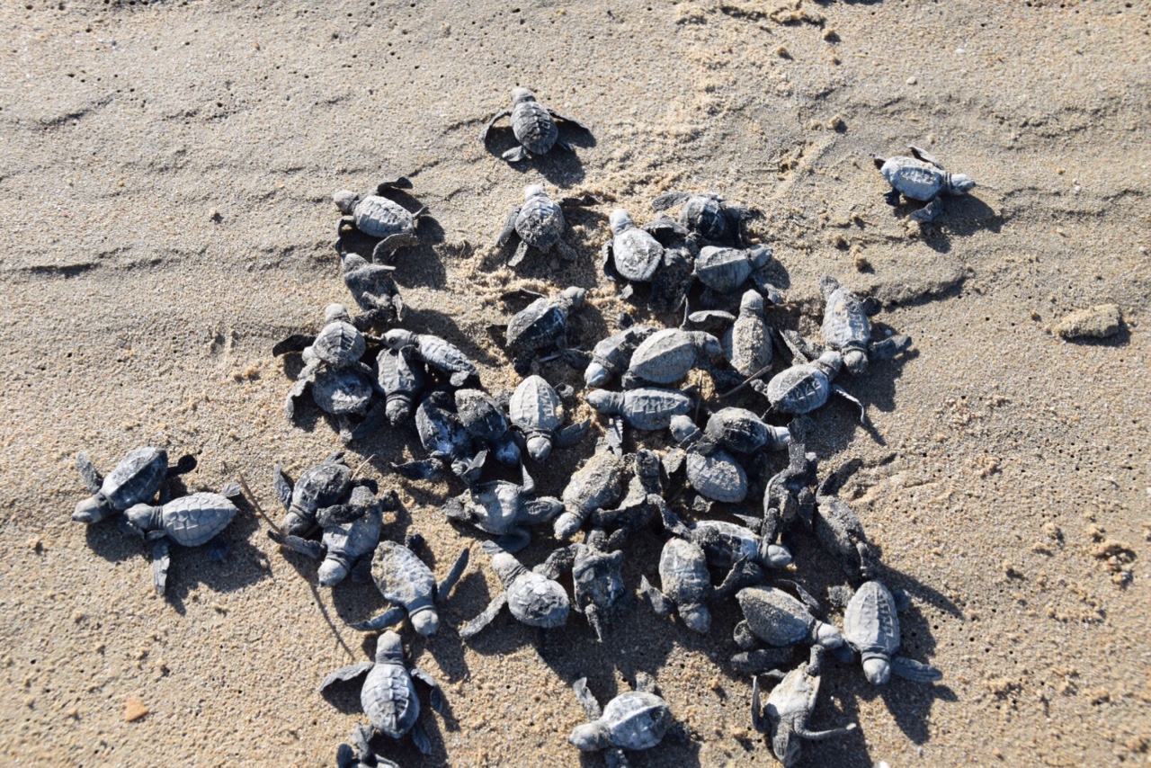
TOP IMAGE: Turtle hatchlings emerge from a nest and crawl through a wire screen that has protected them from predators. (Photo: APN Cape York archive)


